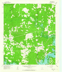
1962 Map of Trees
USGS Topo · Published 1963About this map
The Caddo Lake James Bayou wetlands dominate this borderland landscape where Texas and Louisiana meet. During the early 1960s, the region around Trees and Monterey was defined by its relationship with the water and the burgeoning energy industry. Multiple Oil Wells and a Gas Well dot the terrain, particularly near the Caddo Parish line, illustrating the mid-century petroleum expansion in the Ark-La-Tex region.
Find a feature on this map
38 named features on this map. Tap any name to fly to it.
Don’t see what you’re looking for? This feature index may not catch every label — zoom into the map to look around manually.
Map Details
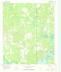
Editions of this 1962 Trees Map
2 editions found
Other maps of this area

1932 · Hosston NW
USGS Topo · 1:31,680

1932 · Hosston SW
USGS Topo · 1:31,680

1944 · Kildare
USGS Topo · 1:62,500

1944 · Caddo Lake
USGS Topo · 1:62,500

1946 · Caddo Lake
USGS Topo · 1:62,500

1948 · Kildare
USGS Topo · 1:62,500

1948 · Mooringsport
USGS Topo · 1:62,500

1948 · Vivian
USGS Topo · 1:62,500

1955 · Shreveport
USGS Topo · 1:250,000

1955 · Mooringsport
USGS Topo · 1:62,500