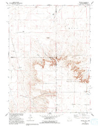
1960 Map of Tremain
USGS Topo · Published 1993About this map
Isolated ranching outposts and rugged high-plains topography define this borderlands region where Laramie, Goshen, and Banner counties meet at the Wyoming-Nebraska state line. The map highlights a network of family-held properties such as Tremain Ranch, Green Ranch, and Spahr Ranch, illustrating the dispersed settlement pattern of the western ranching economy in the mid-20th century. The land is deeply incised by drainages like Ninemile Canyon and Wyoming Canyon, which cut through the elevated plateaus of Hull and Epworth. Geologists and historians will note localized landmarks like Ninemile Rock and evidence of resource exploration via a Drill Hole. In the southern portion of the sheet, the Epworth Cem and the small settlement of Tremain serve as the primary focal points for local community life near Stinking Water Creek.
Find a feature on this map
25 named features on this map. Tap any name to fly to it.
Don’t see what you’re looking for? This feature index may not catch every label — zoom into the map to look around manually.
Map Details
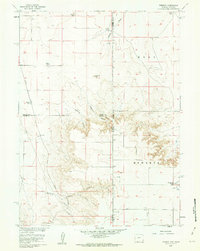
Editions of this 1960 Tremain Map
3 editions found
Other maps of this area

1898 · Scotts Bluff
USGS Topo · 1:125,000

1899 · Goshen Hole
USGS Topo · 1:125,000

1954 · Scottsbluff
USGS Topo · 1:250,000

1954 · Cheyenne
USGS Topo · 1:250,000

1958 · Cheyenne
USGS Topo · 1:250,000

1958 · Scottsbluff
USGS Topo · 1:250,000

1960 · Tremain
USGS Topo · 1:24,000

1960 · Mc Compsey Pass
USGS Topo · 1:24,000

1960 · Petsch Reservoir
USGS Topo · 1:24,000

1960 · La Grange
USGS Topo · 1:24,000