
1960 Map of Tremain
USGS Topo · Published 1960About this map
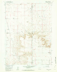
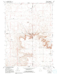
Tremain Ranch and several other family-named homesteads anchor this 1960 survey of the high plains straddling the Wyoming and Nebraska border. The landscape is defined by the Union Pacific railroad line and a prominent pipeline that cut across the drainage basins of Stinking Water Creek and Ninemile Canyon. The map reveals a sparsely populated ranching economy where property boundaries often follow the deep incisions of Wyoming Canyon and the rugged outcrops like Ninemile Rock. Genealogists and local historians can locate specific sites of early regional settlement, such as the Green Ranch, McClure Ranch, and Johnson Ranch. Near the southern edge, the Epworth Cem and a nearby Radio Tower serve as small but significant human markers in the expansive terrain of Epworth and Hull. The detailed topography includes fence and field lines captured during 1957 aerial photography and verified by planetable surveys in 1960.
Find a feature on this map
22 named features on this map. Tap any name to fly to it.
Don’t see what you’re looking for? This feature index may not catch every label — zoom into the map to look around manually.
Map Details
Editions of this 1960 Tremain Map
3 editions found
Other maps of this area

1898 · Scotts Bluff
USGS Topo · 1:125,000

1899 · Goshen Hole
USGS Topo · 1:125,000

1954 · Scottsbluff
USGS Topo · 1:250,000

1954 · Cheyenne
USGS Topo · 1:250,000

1958 · Cheyenne
USGS Topo · 1:250,000

1958 · Scottsbluff
USGS Topo · 1:250,000

1960 · Mc Compsey Pass
USGS Topo · 1:24,000

1960 · Petsch Reservoir
USGS Topo · 1:24,000

1960 · La Grange
USGS Topo · 1:24,000

1960 · Murray Lake
USGS Topo · 1:24,000