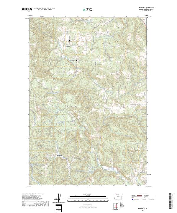
2023 Map of Trenholm
USGS Topo · Published 2023About this map
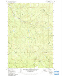
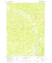
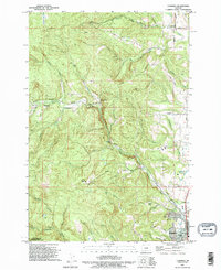
Shiloh Basin and the surrounding Columbia County timberlands are defined by a complex drainage network where the headwaters of several major systems originate. The terrain is marked by the distinct valleys of Tide Creek, Goble Creek, and the Little Clatskanie River, which carve through the upland ridges. Local history is anchored by small settlements like Trenholm and Canaan, while the presence of Goble Cem and Shiloh Basin Cem provides specific points of interest for genealogists tracing early families in the region.
Find a feature on this map
64 named features on this map. Tap any name to fly to it.
Don’t see what you’re looking for? This feature index may not catch every label — zoom into the map to look around manually.
Map Details
Editions of this 2023 Trenholm Map
This is the sole edition of this map. No revisions or reprints were ever made.
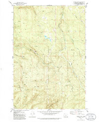
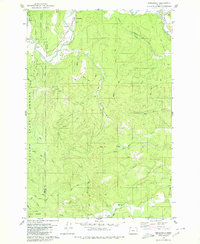
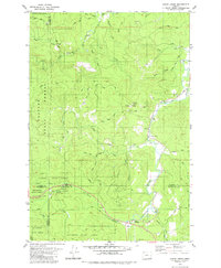
Historical Maps of Trenholm Through Time
26 maps found

1919 Mayger
Columbia County, OR

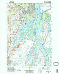
1941 St Helens
Columbia County, OR

1943 St Helens
Columbia County, OR
1954 St Helens
Columbia County, OR
1971 Chapman
Columbia County, OR
1971 Trenholm
Columbia County, OR
1979 Bacona
Columbia County, OR
1979 Baker Point
Columbia County, OR
1979 Birkenfeld
Columbia County, OR
1979 Clear Creek
Columbia County, OR
1979 Pittsburg
Columbia County, OR
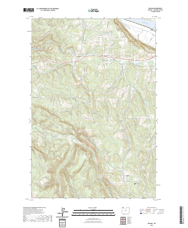
1985 Delena
Columbia County, OR
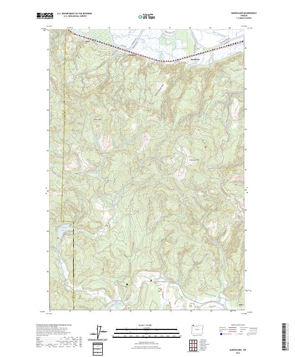
1985 Marshland
Columbia County, OR
1990 Chapman
Columbia County, OR
1990 Saint Helens
Columbia County, OR
1990 Trenholm
Columbia County, OR
2023 Bacona
Columbia County, OR
2023 Baker Point
Columbia County, OR
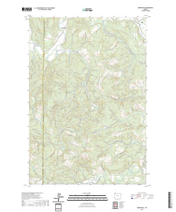
2023 Birkenfeld
Columbia County, OR
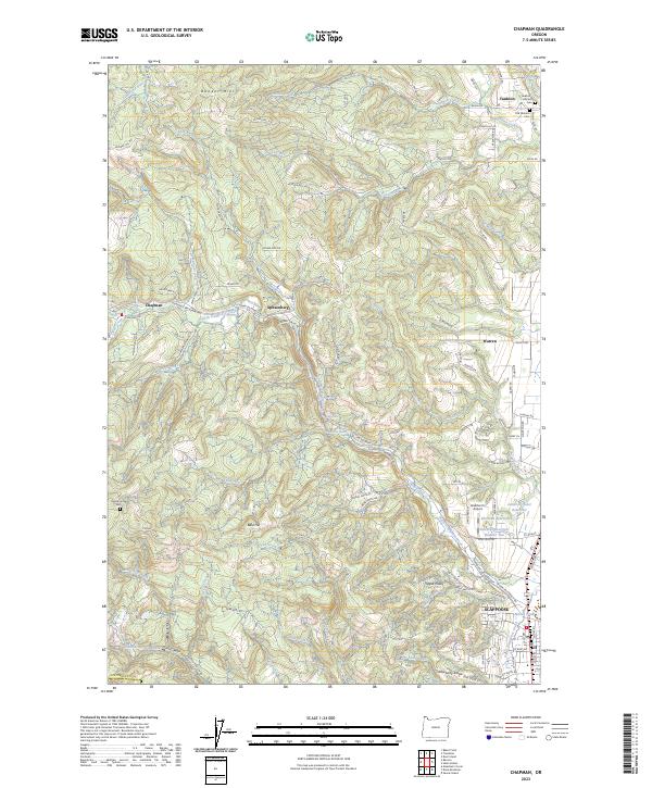
2023 Chapman
Columbia County, OR
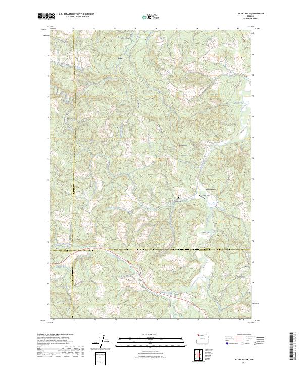
2023 Clear Creek
Columbia County, OR
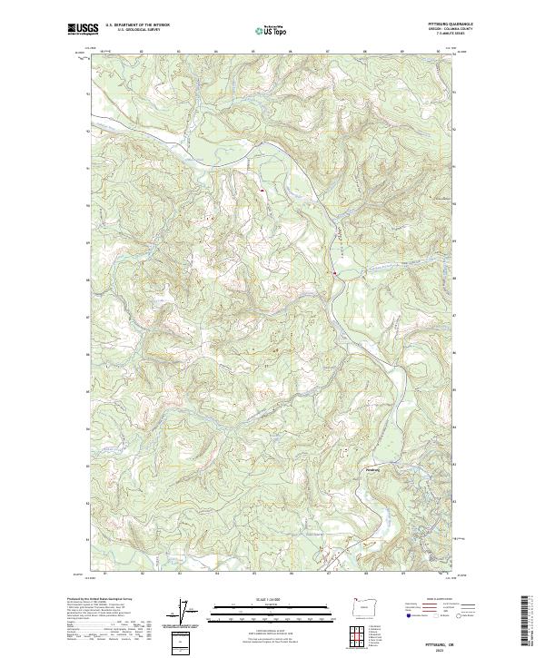
2023 Pittsburg
Columbia County, OR
2023 Trenholm
Columbia County, OR
2024 Delena
Columbia County, OR
2024 Marshland
Columbia County, OR
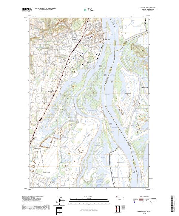
2024 Saint Helens
Columbia County, OR