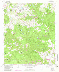
1964 Map of Trenton
USGS Topo · Published 1983About this map
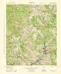
Trenton and the surrounding rural communities of Edgefield Co and Aiken Co are documented here during a period of transition in the mid-1960s, with updates into the early 1980s. The landscape is defined by the Southern railroad corridor and the enduring paths of the Plank Road and Old Plank Road. Educational and spiritual centers like Bettis Academy, Douglas Sch, and Ebenezer Ch serve as vital landmarks for genealogists tracing local family roots.
Find a feature on this map
54 named features on this map. Tap any name to fly to it.
Don’t see what you’re looking for? This feature index may not catch every label — zoom into the map to look around manually.
Map Details
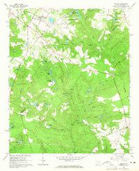
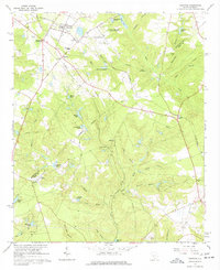
Editions of this 1964 Trenton Map
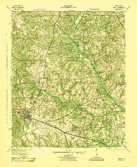
Other maps of this area

1920 · Aiken
USGS Topo · 1:48,000

1921 · Aiken
USGS Topo · 1:62,500

1923 · Warrenville
USGS Topo · 1:48,000

1928 · Warrenville
USGS Topo · 1:62,500
1943 · Aiken
USGS Topo · 1:62,500
1943 · Warrenville
USGS Topo · 1:62,500

1954 · Augusta
USGS Topo · 1:250,000

1957 · Augusta
USGS Topo · 1:250,000

1958 · Augusta
USGS Topo · 1:250,000

1961 · Augusta
USGS Topo · 1:250,000