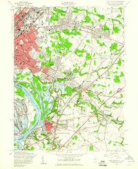
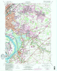
1957 Map of Trenton East
USGS Topo · Published 1960About this map
The Delaware River corridor defines the western edge of this 1957 survey, where industrial and transportation networks converge near Bordentown and eastern Trenton. The landscape is a mix of dense urban development and the early expansion of residential neighborhoods like Mercerville, Hamilton Square, and The Orchards. Key infrastructure, including the Pennsylvania Turnpike and New Jersey Turnpike, carves through the terrain, illustrating the region's importance as a transit hub.
Find a feature on this map
84 named features on this map. Tap any name to fly to it.
Don’t see what you’re looking for? This feature index may not catch every label — zoom into the map to look around manually.
Map Details
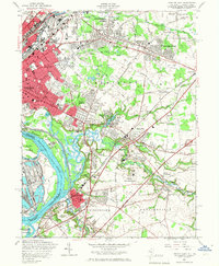
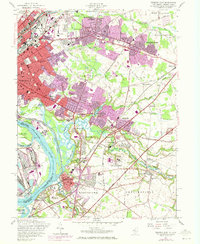
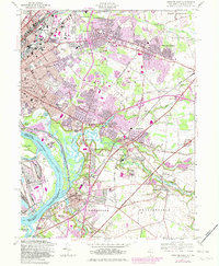
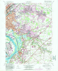
Editions of this 1957 Trenton East Map
6 editions found
Other maps of this area

1888 · Bordentown
USGS Topo · 1:62,500

1888 · Princeton
USGS Topo · 1:62,500

1890 · Lambertville
USGS Topo · 1:62,500

1890 · Burlington
USGS Topo · 1:62,500

1891 · Lambertville
USGS Topo · 1:62,500

1893 · Bordentown
USGS Topo · 1:62,500

1893 · Burlington
USGS Topo · 1:62,500

1894 · Princeton
USGS Topo · 1:62,500

1894 · Lambertville
USGS Topo · 1:62,500

1904 · Burlington
USGS Topo · 1:62,500