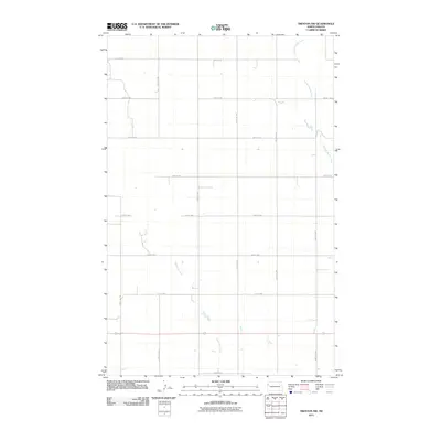
2011 Map of Trenton NW
USGS Topo · Published 2011About this map
Painted Woods Creek and Eightmile Creek define the drainage patterns of this rural landscape in Williams County. The terrain is organized by an extensive grid of section-line roads, including 57th St NW at the northern boundary and 153rd Ave NW to the west. This 2011 survey captures the area during a period of modern agricultural development, where the infrastructure is largely centered on local transportation corridors like County Hwy-6. The map reflects the systematic township-and-range layout characteristic of the North Dakota plains, with the creeks providing the only significant natural breaks in the geometric road network. Collectors of regional maps will find this edition provides a clear record of the rural pathing and hydrological features before more recent industrial expansions altered the local character.
Find a feature on this map
17 named features on this map. Tap any name to fly to it.
Don’t see what you’re looking for? This feature index may not catch every label — zoom into the map to look around manually.
Map Details
Editions of this 2011 Trenton NW Map
This is the sole edition of this map. No revisions or reprints were ever made.
Other maps of this area

1953 · Williston
USGS Topo · 1:250,000

1954 · Wolf Point
USGS Topo · 1:250,000

1957 · Williston
USGS Topo · 1:250,000

1958 · Wolf Point
USGS Topo · 1:250,000

1968 · Trenton SW
USGS Topo · 1:24,000

1968 · Bainville SE
USGS Topo · 1:24,000

1969 · Trenton
USGS Topo · 1:24,000

1974 · Red Bank Creek
USGS Topo · 1:24,000

1974 · Bonetraill SW
USGS Topo · 1:24,000

1974 · Trenton NE
USGS Topo · 1:24,000