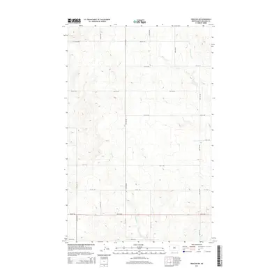
2014 Map of Trenton NW
USGS Topo · Published 2014About this map
Eightmile Cr and Painted Woods Cr define the drainage patterns of this rural Williams County landscape, carving subtle paths through the high plains of western North Dakota. The area is structured by a precise section-line road network, where routes like 50th St NW and 151st Ave NW intersect to facilitate access across the open terrain. This survey reflects the enduring homestead-era grid system as it appeared in the early 21st century, showing how modern county infrastructure continues to follow the historical survey lines that first partitioned the territory. The map is primarily characterized by its topographical detail, illustrating the gradual descent of the land toward these drainage creeks and providing a clear view of the rural upland environment before it reaches the Missouri River valley to the south.
Find a feature on this map
17 named features on this map. Tap any name to fly to it.
Don’t see what you’re looking for? This feature index may not catch every label — zoom into the map to look around manually.
Map Details
Editions of this 2014 Trenton NW Map
This is the sole edition of this map. No revisions or reprints were ever made.
Other maps of this area

1953 · Williston
USGS Topo · 1:250,000

1954 · Wolf Point
USGS Topo · 1:250,000

1957 · Williston
USGS Topo · 1:250,000

1958 · Wolf Point
USGS Topo · 1:250,000

1968 · Trenton SW
USGS Topo · 1:24,000

1968 · Bainville SE
USGS Topo · 1:24,000

1969 · Trenton
USGS Topo · 1:24,000

1974 · Red Bank Creek
USGS Topo · 1:24,000

1974 · Bonetraill SW
USGS Topo · 1:24,000

1974 · Trenton NE
USGS Topo · 1:24,000