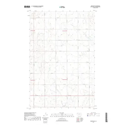
2017 Map of Trenton NW
USGS Topo · Published 2017About this map
Eightmile Cr and Painted Woods Cr thread through this section of Williams County, defining the drainage patterns of an open prairie landscape divided by the Public Land Survey System. The map captures the area as it appeared in the late 2010s, where the rectilinear grid of gravel and dirt roads like 150th Ave NW and 50th St NW provide access to the remote sections of Township 154 and 155 North. This topography is characteristic of the northwestern North Dakota plains, showing subtle elevation changes and the sparse intermittent watercourses that dictate the placement of ranching and farming infrastructure. The survey detail is particularly useful for understanding modern land use and boundary lines within the historic townships of Range 103 and 104 West.
Find a feature on this map
21 named features on this map. Tap any name to fly to it.
Don’t see what you’re looking for? This feature index may not catch every label — zoom into the map to look around manually.
Map Details
Editions of this 2017 Trenton NW Map
This is the sole edition of this map. No revisions or reprints were ever made.
Other maps of this area

1953 · Williston
USGS Topo · 1:250,000

1954 · Wolf Point
USGS Topo · 1:250,000

1957 · Williston
USGS Topo · 1:250,000

1958 · Wolf Point
USGS Topo · 1:250,000

1968 · Trenton SW
USGS Topo · 1:24,000

1968 · Bainville SE
USGS Topo · 1:24,000

1969 · Trenton
USGS Topo · 1:24,000

1974 · Red Bank Creek
USGS Topo · 1:24,000

1974 · Bonetraill SW
USGS Topo · 1:24,000

1974 · Trenton NE
USGS Topo · 1:24,000