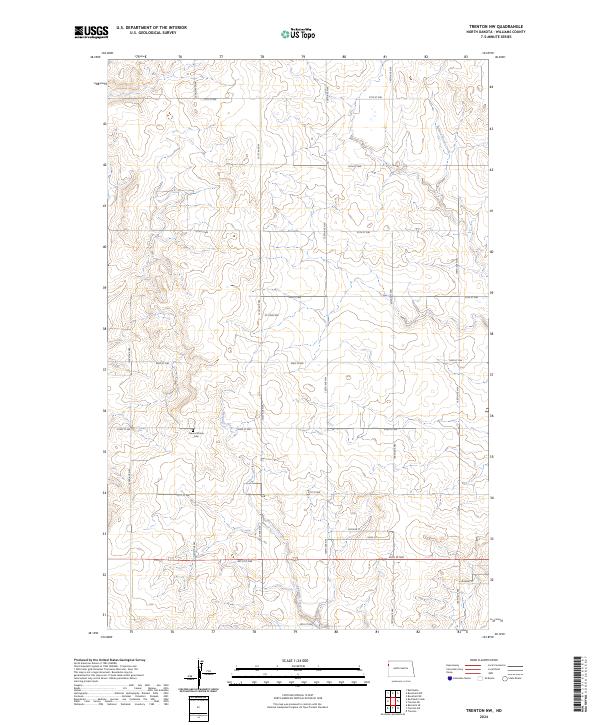
2024 Map of Trenton NW
USGS Topo · Published 2024About this map
Round Prairie Cem serves as a central landmark in this portion of Williams County, situated amidst the high plains of western North Dakota. The landscape is defined by the drainage patterns of Eightmile Creek, which winds through the southern sections of the township, and Painted Woods Creek in the northeast. The terrain shows a transition from broad upland plateaus to the incised draws of these watercourses, revealing the natural topography that shaped early settlement patterns in the region.
Find a feature on this map
26 named features on this map. Tap any name to fly to it.
Don’t see what you’re looking for? This feature index may not catch every label — zoom into the map to look around manually.
Map Details
Editions of this 2024 Trenton NW Map
This is the sole edition of this map. No revisions or reprints were ever made.
Other maps of this area

1953 · Williston
USGS Topo · 1:250,000

1954 · Wolf Point
USGS Topo · 1:250,000

1957 · Williston
USGS Topo · 1:250,000

1958 · Wolf Point
USGS Topo · 1:250,000

1968 · Trenton SW
USGS Topo · 1:24,000

1968 · Bainville SE
USGS Topo · 1:24,000

1969 · Trenton
USGS Topo · 1:24,000

1974 · Red Bank Creek
USGS Topo · 1:24,000

1974 · Bonetraill SW
USGS Topo · 1:24,000

1974 · Trenton NE
USGS Topo · 1:24,000