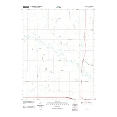
2009 Map of Trenton
USGS Topo · Published 2009About this map
The Saline River winds in tight oxbows across this Saline County landscape, defining the character of the river valley north of interstate transit. In this part of central Kansas, the agrarian grid is punctuated by small settlements like Marydel, Shipton, and Trenton, which anchor the surrounding farmsteads. Local history is preserved in several burial grounds, including Crown Point Cemetery and Walnut Hill Cemetery, often located near these small community centers. The map illustrates a transition between the wandering river course and the straightened section lines of roads such as W Lockard Rd and Humbargar Rd. These corridors facilitate local travel between the river basin and more established transit routes, while Shiloh Cemetery sits at the southern edge, marking one of the few named landmarks in this stretch of rural prairie.
Find a feature on this map
39 named features on this map. Tap any name to fly to it.
Don’t see what you’re looking for? This feature index may not catch every label — zoom into the map to look around manually.
Map Details
Editions of this 2009 Trenton Map
This is the sole edition of this map. No revisions or reprints were ever made.
Other maps of this area

1892 · Salina
USGS Topo · 1:125,000

1892 · Minneapolis
USGS Topo · 1:125,000

1942 · Salina
USGS Topo · 1:125,000

1955 · Salina
USGS Topo · 1:24,000

1955 · Salina SW
USGS Topo · 1:24,000

1955 · Trenton
USGS Topo · 1:24,000

1955 · Brookville
USGS Topo · 1:24,000

1955 · Culver
USGS Topo · 1:24,000

1955 · New Cambria
USGS Topo · 1:24,000

1955 · Manhattan
USGS Topo · 1:250,000