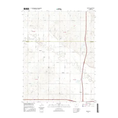
2015 Map of Trenton
USGS Topo · Published 2015About this map
The Saline River winds through the heart of the central Kansas landscape, defining the rural character of the border between Ottawa and Saline counties. Small communities like Marydel, Shipton, and Trenton anchor the local road network, reflecting a settlement pattern deeply tied to the fertile river valley. Significant landmarks for local history and genealogy include the Walnut Hill Cem, Crown Point Cem, and Shiloh Cem, which are scattered throughout the agricultural sections. The map reveals a transition from traditional farming towards modern local infrastructure, seen in the presence of Burger's Valley Airport and the development of Saline County State Lake. This survey provides a clear view of the prairie terrain and the precise grid of county roads that have organized this region for generations.
Find a feature on this map
51 named features on this map. Tap any name to fly to it.
Don’t see what you’re looking for? This feature index may not catch every label — zoom into the map to look around manually.
Map Details
Editions of this 2015 Trenton Map
This is the sole edition of this map. No revisions or reprints were ever made.
Other maps of this area

1892 · Salina
USGS Topo · 1:125,000

1892 · Minneapolis
USGS Topo · 1:125,000

1942 · Salina
USGS Topo · 1:125,000

1955 · Salina
USGS Topo · 1:24,000

1955 · Salina SW
USGS Topo · 1:24,000

1955 · Trenton
USGS Topo · 1:24,000

1955 · Brookville
USGS Topo · 1:24,000

1955 · Culver
USGS Topo · 1:24,000

1955 · New Cambria
USGS Topo · 1:24,000

1955 · Manhattan
USGS Topo · 1:250,000