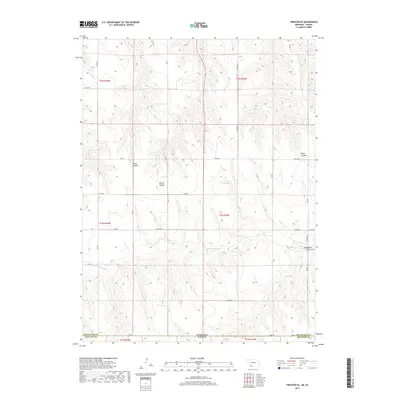
2017 Map of Trenton SE
USGS Topo · Published 2017About this map
Nebraska Kansas state line drainage patterns dominate this high-plains landscape, where the N Fork Driftwood Cr carves a path through the borderlands of Hitchcock and Rawlins counties. The terrain is defined by a series of significant erosional features, including Wildhorse Canyon and Jones Canyon, which break the upland plateau. A sparse network of section-line roads, such as Co RD 703 and RD 365, provides the primary access across these townships, following the Public Land Survey System grid. The map also identifies local landmarks like Spring Canyon and Black Canyon, illustrating the subtle yet distinct topographical relief that characterizes this agricultural and grazing region at the edge of the Dust Bowl’s historical reach.
Find a feature on this map
30 named features on this map. Tap any name to fly to it.
Don’t see what you’re looking for? This feature index may not catch every label — zoom into the map to look around manually.
Map Details
Editions of this 2017 Trenton SE Map
This is the sole edition of this map. No revisions or reprints were ever made.
Other maps of this area

1951 · Herndon
USGS Topo · 1:62,500

1951 · Atwood
USGS Topo · 1:62,500

1954 · McCook
USGS Topo · 1:250,000

1954 · Goodland
USGS Topo · 1:250,000

1956 · Goodland
USGS Topo · 1:250,000

1957 · McCook
USGS Topo · 1:250,000

1957 · Goodland
USGS Topo · 1:250,000

1958 · McCook
USGS Topo · 1:250,000

1962 · Trenton
USGS Topo · 1:24,000

1962 · Trenton SW
USGS Topo · 1:24,000