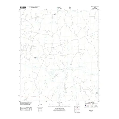
2010 Map of Trevat
USGS Topo · Published 2010About this map
Trevat and the nearby settlement of Sulphur anchor this part of Trinity County, where a dense network of creek systems defines the rural landscape. In the years following the turn of the millennium, this area remained characterized by its winding watercourses, including the central Piney Creek and Sulphur Creek, which divide the timbered terrain. The map provides essential data for local historians tracing family roots, particularly through the locations of Wagner Hill Cemetery and Abbott Springs Cemetery.
Find a feature on this map
33 named features on this map. Tap any name to fly to it.
Don’t see what you’re looking for? This feature index may not catch every label — zoom into the map to look around manually.
Map Details
Editions of this 2010 Trevat Map
This is the sole edition of this map. No revisions or reprints were ever made.
Other maps of this area

1953 · Palestine
USGS Topo · 1:250,000

1954 · Beaumont
USGS Topo · 1:250,000

1955 · New Willard
USGS Topo · 1:62,500

1957 · Beaumont
USGS Topo · 1:250,000

1957 · Palestine
USGS Topo · 1:250,000

1960 · Colita
USGS Topo · 1:24,000

1963 · Crecy
USGS Topo · 1:24,000

1963 · Groveton East
USGS Topo · 1:24,000
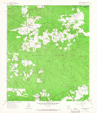
1963 · Apple Springs
USGS Topo · 1:24,000
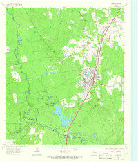
1963 · Diboll
USGS Topo · 1:24,000