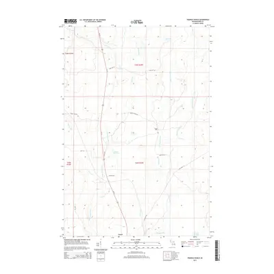
2014 Map of Triangle Ranch
USGS Topo · Published 2014About this map
Triangle Ranch lies at the heart of this landscape in Hematite Township, defined by the complex hydrography of the Hemlock River system. The map documents a transition from the structured grid of township boundaries to the wandering paths of the E Br Hemlock River and W Br Hemlock River. To the south, the settlement of Amasa serves as a local hub near Buck Lake, connected by Us-141 which bisects the western half of the territory.
Find a feature on this map
33 named features on this map. Tap any name to fly to it.
Don’t see what you’re looking for? This feature index may not catch every label — zoom into the map to look around manually.
Map Details
Editions of this 2014 Triangle Ranch Map
This is the sole edition of this map. No revisions or reprints were ever made.
Other maps of this area

1895 · Ned Lake
USGS Topo · 1:62,500

1895 · Perch Lake
USGS Topo · 1:62,500

1898 · Iron River
USGS Topo · 1:62,500

1899 · Crystal Falls
USGS Topo · 1:62,500

1945 · Sunset Lake
USGS Topo · 1:24,000

1945 · Kelso Junction
USGS Topo · 1:24,000

1945 · Amasa
USGS Topo · 1:24,000

1946 · Sunset Lake
USGS Topo · 1:31,680
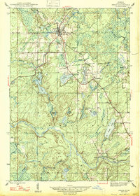
1947 · Amasa
USGS Topo · 1:24,000

1947 · Kelso Junction
USGS Topo · 1:24,000