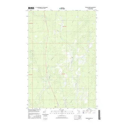
2017 Map of Triangle Ranch
USGS Topo · Published 2017About this map
Triangle Ranch and the northern reaches of Amasa anchor this survey of the Iron County interior. The landscape is defined by an intricate network of waterways, including the Hemlock River and its tributary, the Little Hemlock River, which wind through low-lying terrain. To the north, Spies Lake and the Twin Lakes sit among a complex of marshes and wetlands. The transport network reflects the area's timber and ranching history, with several thoroughfares including The Grade and Premo Dam Rd following long-established routes through the forests. Local landownership and family history are preserved through road names such as Basilio Rd, Offerman Rd, and Mihalisko Rd, while Old US Hwy 141 N serves as the primary north-south artery for this rural Michigan community.
Find a feature on this map
31 named features on this map. Tap any name to fly to it.
Don’t see what you’re looking for? This feature index may not catch every label — zoom into the map to look around manually.
Map Details
Editions of this 2017 Triangle Ranch Map
This is the sole edition of this map. No revisions or reprints were ever made.
Other maps of this area

1895 · Ned Lake
USGS Topo · 1:62,500

1895 · Perch Lake
USGS Topo · 1:62,500

1898 · Iron River
USGS Topo · 1:62,500

1899 · Crystal Falls
USGS Topo · 1:62,500

1945 · Sunset Lake
USGS Topo · 1:24,000

1945 · Kelso Junction
USGS Topo · 1:24,000

1945 · Amasa
USGS Topo · 1:24,000

1946 · Sunset Lake
USGS Topo · 1:31,680
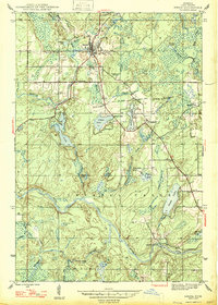
1947 · Amasa
USGS Topo · 1:24,000

1947 · Kelso Junction
USGS Topo · 1:24,000