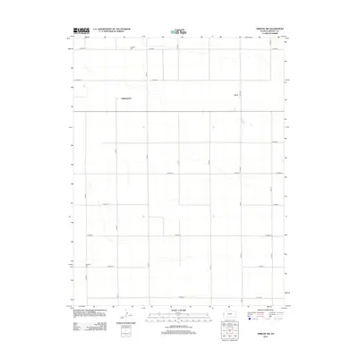
2012 Map of Tribune NW
USGS Topo · Published 2012About this map
Astor and Walkinghood anchor this high plains landscape in Greeley County, Kansas, where a systematic grid of county roads defines the rural layout. The terrain is marked by the quiet presence of small, family-associated burial grounds like Rodgers Cem in the north and Mathews Cem to the southwest, serving as vital landmarks for genealogists and local historians. This 2012 survey illustrates the enduring nature of the township structure, with thoroughfares such as Astor Rd and Co Road O providing the primary connectivity across the open prairie. The scarcity of dense development emphasizes the area's dedication to agriculture and the preservation of early settlement locations that once served as neighborhood hubs.
Find a feature on this map
20 named features on this map. Tap any name to fly to it.
Don’t see what you’re looking for? This feature index may not catch every label — zoom into the map to look around manually.
Map Details
Editions of this 2012 Tribune NW Map
This is the sole edition of this map. No revisions or reprints were ever made.
Other maps of this area

1890 · Granada
USGS Topo · 1:125,000

1892 · Cheyenne Wells
USGS Topo · 1:125,000

1892 · Granada
USGS Topo · 1:125,000

1894 · Cheyenne Wells
USGS Topo · 1:125,000

1894 · Granada
USGS Topo · 1:125,000

1954 · Lamar
USGS Topo · 1:250,000

1955 · Scott City
USGS Topo · 1:250,000

1958 · Lamar
USGS Topo · 1:250,000

1958 · Scott City
USGS Topo · 1:250,000
1968 · Towner SE
USGS Topo · 1:24,000