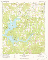
1969 Map of Trimble
USGS Topo · Published 1973About this map
The complex shoreline of Lewis Smith Lake dominates this Alabama landscape, where the inundated valleys of Rock Creek, Ryan Creek, and Simpson Creek create a labyrinth of peninsulas and inlets. Established rural communities like Trimble and Loretto sit on the higher ground overlooking these waters, defined by a network of country churches and family cemeteries. The mapping captures the area's transition into a major recreational hub following the creation of the reservoir, while still documenting the older terrestrial landmarks.
Find a feature on this map
37 named features on this map. Tap any name to fly to it.
Don’t see what you’re looking for? This feature index may not catch every label — zoom into the map to look around manually.
Map Details
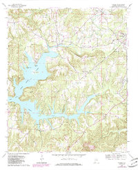
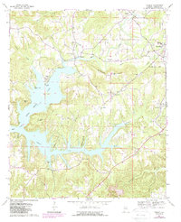
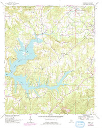
Editions of this 1969 Trimble Map
4 editions found
Other maps of this area

1888 · Cullman
USGS Topo · 1:125,000

1889 · Birmingham
USGS Topo · 1:125,000

1892 · Cullman
USGS Topo · 1:125,000

1892 · Birmingham
USGS Topo · 1:125,000

1893 · Jasper
USGS Topo · 1:125,000

1895 · Birmingham
USGS Topo · 1:125,000

1907 · Birmingham
USGS Topo · 1:125,000

1949 · Cold Springs
USGS Topo · 1:24,000

1951 · Cold Springs
USGS Topo · 1:24,000

1951 · Arkadelphia
USGS Topo · 1:24,000