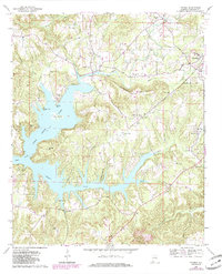
1969 Map of Trimble
USGS Topo · Published 1985About this map
Lewis Smith Lake dominates the central landscape of Cullman County, its intricate shoreline carving deep into the Alabama plateau. This survey, updated with 1980s aerial data, reveals a community organized around the water and its many tributary creeks like Ryan Creek and Simpson Creek. Small rural settlements and crossroads hubs such as Trimble and Loretto serve as focal points for the surrounding countryside. A dense network of country churches, including Sardis Ch, Sharon Grove Ch, and Macedonia Freewill Ch, alongside family burial sites like Shedd Cem, points to the deep-rooted social and genealogical history of the area. Significant landmarks like Schmmuck Mountain and Goat Island provide orientation within the labyrinthine topography of the reservoir's fingers, while the Cullman Corp Bdy at Good Hope indicates the encroachment of more developed municipal limits.
Find a feature on this map
32 named features on this map. Tap any name to fly to it.
Don’t see what you’re looking for? This feature index may not catch every label — zoom into the map to look around manually.
Map Details
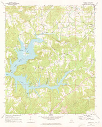
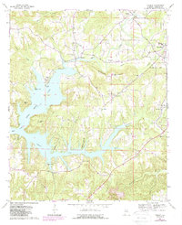
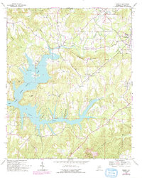
Editions of this 1969 Trimble Map
4 editions found
Other maps of this area

1888 · Cullman
USGS Topo · 1:125,000

1889 · Birmingham
USGS Topo · 1:125,000

1892 · Cullman
USGS Topo · 1:125,000

1892 · Birmingham
USGS Topo · 1:125,000

1893 · Jasper
USGS Topo · 1:125,000

1895 · Birmingham
USGS Topo · 1:125,000

1907 · Birmingham
USGS Topo · 1:125,000

1949 · Cold Springs
USGS Topo · 1:24,000

1951 · Cold Springs
USGS Topo · 1:24,000

1951 · Arkadelphia
USGS Topo · 1:24,000