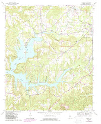
1969 Map of Trimble
USGS Topo · Published 1988About this map
The intricate shoreline of Lewis Smith Lake dominates the southern half of this landscape, its deep inlets reaching north into the hills of Cullman County. Following the field checks of 1969, the map reveals a countryside defined by small rural centers and numerous community landmarks. The settlement of Trimble sits at the head of Clear Creek, while further east, the rising terrain of Schmmuck Mountain overlooks Loretto. This era captures a transition in the local economy, visible where a Strip Mine and Gravel Pit appear alongside long-standing family and community sites like the Shedd Cem and Sardis Ch. The high density of churches, such as Bowman Chapel and Macedonia Freewill Ch, underscores the social fabric of these Alabama ridges before the expansion of modern infrastructure.
Find a feature on this map
42 named features on this map. Tap any name to fly to it.
Don’t see what you’re looking for? This feature index may not catch every label — zoom into the map to look around manually.
Map Details
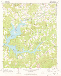
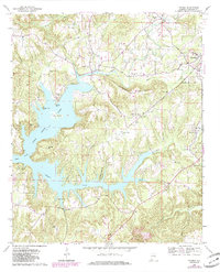
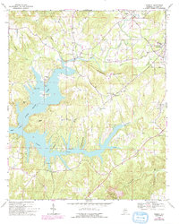
Editions of this 1969 Trimble Map
4 editions found
Other maps of this area

1888 · Cullman
USGS Topo · 1:125,000

1889 · Birmingham
USGS Topo · 1:125,000

1892 · Cullman
USGS Topo · 1:125,000

1892 · Birmingham
USGS Topo · 1:125,000

1893 · Jasper
USGS Topo · 1:125,000

1895 · Birmingham
USGS Topo · 1:125,000

1907 · Birmingham
USGS Topo · 1:125,000

1949 · Cold Springs
USGS Topo · 1:24,000

1951 · Cold Springs
USGS Topo · 1:24,000

1951 · Arkadelphia
USGS Topo · 1:24,000