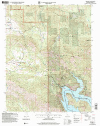
2004 Map of Trimmer
USGS Topo · Published 2007About this map
Pine Flat Reservior dominates the southeastern quadrant of this map, where the Kings River flows through the steep terrain of the Sierra National Forest. The small settlement of Trimmer serves as a focal point near the water, featuring a Boat Ramp and Gaging Station for monitoring the river's flow. Moving west, the landscape transitions into the broader, more agricultural basins of Burrough Valley and Watts Valley. These valleys are marked by a network of ranch roads like Burrough Valley Rd and Maxson Road. For genealogists, the Watts Valley Cem provides a specific point of historical interest within the valley floor. The map also delineates the boundary between the Sierra and Sequoia National Forest, illustrating how these federal lands manage the transition from high mountain peaks like Eagle Peak to the vital water resources used for the region below.
Find a feature on this map
37 named features on this map. Tap any name to fly to it.
Don’t see what you’re looking for? This feature index may not catch every label — zoom into the map to look around manually.
Map Details
Editions of this 2004 Trimmer Map
2 editions found
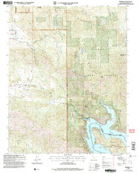
Other maps of this area

1904 · Kaiser
USGS Topo · 1:125,000

1920 · Orangedale School
USGS Topo · 1:24,000

1922 · Trimmer
USGS Topo · 1:96,000

1923 · Orangedale School
USGS Topo · 1:31,680

1924 · Dinuba
USGS Topo · 1:125,000

1942 · Watts Valley
USGS Topo · 1:62,500

1944 · Watts Valley
USGS Topo · 1:62,500

1947 · Mariposa
USGS Topo · 1:250,000

1948 · Fresno
USGS Topo · 1:250,000

1948 · Mariposa
USGS Topo · 1:250,000