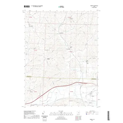
2019 Map of Trinway
USGS Topo · Published 2019About this map
Wakatomika Creek and its many tributaries, including Little Wakatomika Cr and Sand Fork, carve a complex network of valleys across the boundary of Coshocton and Muskingum counties. The settlement pattern follows these watercourses and the high ground of Graham Ridge and Irish Ridge. Small communities like Cooperdale, Wakatomika, and Graham Corners anchor the rural landscape, while the larger hubs of Trinway and Dresden sit at the southern edge of the survey.
Find a feature on this map
107 named features on this map. Tap any name to fly to it.
Don’t see what you’re looking for? This feature index may not catch every label — zoom into the map to look around manually.
Map Details
Editions of this 2019 Trinway Map
This is the sole edition of this map. No revisions or reprints were ever made.
Other maps of this area

1908 · Conesville
USGS Topo · 1:62,500

1910 · Frazeysburg
USGS Topo · 1:62,500

1910 · Conesville
USGS Topo · 1:62,500

1913 · Brinkhaven
USGS Topo · 1:62,500

1913 · Coshocton
USGS Topo · 1:62,500

1915 · Brinkhaven
USGS Topo · 1:62,500

1915 · Coshocton
USGS Topo · 1:62,500

1943 · Coshocton
USGS Topo · 1:62,500

1950 · Marion
USGS Topo · 1:250,000

1951 · Canton
USGS Topo · 1:250,000