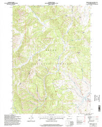
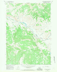
1996 Map of Tripod Peak
USGS Topo · Published 1998About this map
Teton National Forest encompasses this wilderness area in Teton County, where a complex network of tributaries feeds the regional watershed during the late twentieth century. Central to the topography is Tripod Peak, a prominent summit overlooking the intricate drainage basins of North Fork Spread Creek and South Fork Spread Creek. The landscape is defined by its water systems, including Dry Lake Creek and the aptly named Two Water Falls Creek. Human presence is minimal and concentrated on resource management, indicated by a lone Cabin in the southern reach and the Buffalo Jackson route. The presence of the Ranger District suggests a landscape managed for conservation and forestry, while labels like Sahara and Poison Creek hint at the diverse and sometimes challenging environmental conditions encountered by those traversing these high-elevation woods.
Find a feature on this map
24 named features on this map. Tap any name to fly to it.
Don’t see what you’re looking for? This feature index may not catch every label — zoom into the map to look around manually.
Map Details
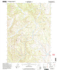
Editions of this 1996 Tripod Peak Map
2 editions found
Other maps of this area

1902 · Mt Leidy
USGS Topo · 1:125,000

1955 · Driggs
USGS Topo · 1:250,000

1958 · Driggs
USGS Topo · 1:250,000

1962 · Driggs
USGS Topo · 1:250,000

1965 · Green Mountain
USGS Topo · 1:24,000
1965 · Lava Mountain
USGS Topo · 1:24,000

1965 · Rosies Ridge
USGS Topo · 1:24,000
1965 · Sheridan Pass
USGS Topo · 1:24,000
1965 · Upper Slide Lake
USGS Topo · 1:24,000

1965 · Tripod Peak
USGS Topo · 1:24,000