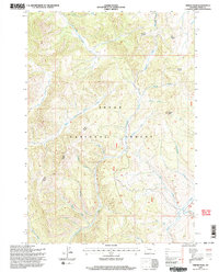
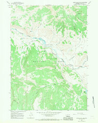
1996 Map of Tripod Peak
USGS Topo · Published 1998About this map
Tripod Peak serves as a central landmark for this high-altitude drainage basin within the Teton National Forest. The landscape is defined by an intricate network of waterways, including the North Fork Spread Creek and South Fork Spread Creek, which carve through the Buffalo Jackson Ranger District. These drainage patterns indicate a terrain where water movement is the primary architect of the geography, leading into prominent valleys like that of Cottonwood Creek.
Find a feature on this map
27 named features on this map. Tap any name to fly to it.
Don’t see what you’re looking for? This feature index may not catch every label — zoom into the map to look around manually.
Map Details
Editions of this 1996 Tripod Peak Map
2 editions found
Other maps of this area

1902 · Mt Leidy
USGS Topo · 1:125,000

1955 · Driggs
USGS Topo · 1:250,000

1958 · Driggs
USGS Topo · 1:250,000

1962 · Driggs
USGS Topo · 1:250,000

1965 · Green Mountain
USGS Topo · 1:24,000
1965 · Lava Mountain
USGS Topo · 1:24,000

1965 · Rosies Ridge
USGS Topo · 1:24,000
1965 · Sheridan Pass
USGS Topo · 1:24,000
1965 · Upper Slide Lake
USGS Topo · 1:24,000

1965 · Tripod Peak
USGS Topo · 1:24,000