
1949 Map of Tropic
USGS Topo · Published 1969About this map
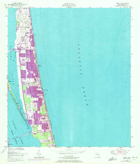
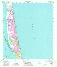
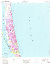
Merritt Island is depicted here in a transitional period following the war, showcasing the coastal landscape of Brevard County before extensive mid-century development. The map details the narrow strip of land between the Banana River and the Atlantic Ocean, including the large U S Military Reservation at the northern end. Small, scattered settlements like Tropic, Ensey, and Riley dot the interior, while the town of Eau Gallie sits at the southwestern edge of the quadrangle along the Indian River.
Find a feature on this map
23 named features on this map. Tap any name to fly to it.
Don’t see what you’re looking for? This feature index may not catch every label — zoom into the map to look around manually.
Map Details
Editions of this 1949 Tropic Map
4 editions found
Other maps of this area

1949 · Melbourne West
USGS Topo · 1:24,000

1949 · Melbourne East
USGS Topo · 1:24,000

1949 · Eau Gallie
USGS Topo · 1:24,000

1949 · Cocoa
USGS Topo · 1:24,000

1949 · Cocoa Beach
USGS Topo · 1:24,000

1951 · Melbourne East
USGS Topo · 1:24,000

1951 · Eau Gallie
USGS Topo · 1:24,000

1951 · Cocoa
USGS Topo · 1:24,000

1951 · Melbourne West
USGS Topo · 1:24,000
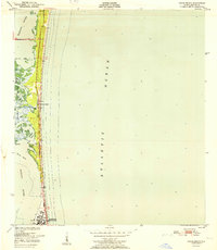
1951 · Cocoa Beach
USGS Topo · 1:24,000