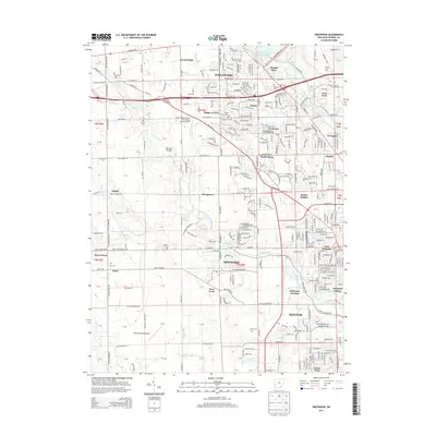
2013 Map of Trotwood
USGS Topo · Published 2013About this map
Wolf Creek and its many tributaries, including North Branch Wolf Creek and Dry Run, define the hydrology of this Montgomery County landscape as it appeared in the early 21st century. The map centers on the suburban and rural growth of Trotwood, surrounded by a constellation of smaller settlements like Kinsey, Taylorsburg, and Stringtown. Local aviation history is prominent here, with three distinct landing sites visible: the Miami Valley Career Technology Center Airport, McGregor Airfield, and Dahio Trotwood Airport.
Find a feature on this map
82 named features on this map. Tap any name to fly to it.
Don’t see what you’re looking for? This feature index may not catch every label — zoom into the map to look around manually.
Map Details
Editions of this 2013 Trotwood Map
This is the sole edition of this map. No revisions or reprints were ever made.
Other maps of this area
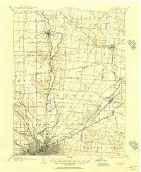
1904 · Dayton
USGS Topo · 1:62,500
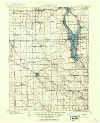
1905 · Brookville
USGS Topo · 1:62,500
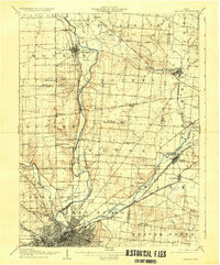
1906 · Dayton
USGS Topo · 1:62,500
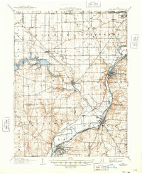
1908 · Miamisburg
USGS Topo · 1:62,500
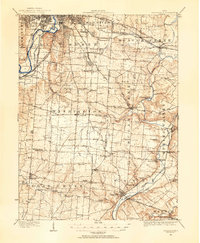
1913 · Waynesville
USGS Topo · 1:62,500
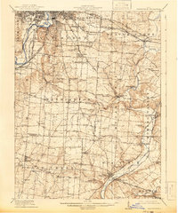
1915 · Waynesville
USGS Topo · 1:62,500

1953 · Cincinnati
USGS Topo · 1:250,000
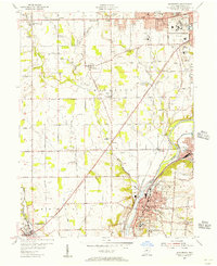
1955 · Miamisburg
USGS Topo · 1:24,000
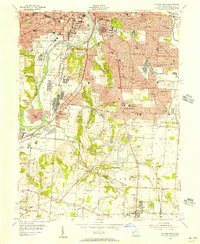
1955 · Dayton South
USGS Topo · 1:24,000
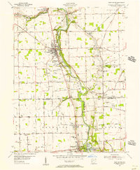
1955 · West Milton
USGS Topo · 1:24,000