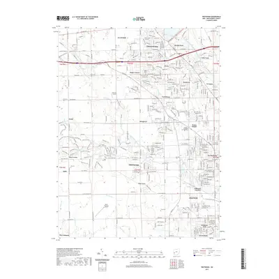
2019 Map of Trotwood
USGS Topo · Published 2019About this map
Trotwood and the northwestern reaches of Dayton form the core of this modern survey, revealing a landscape where suburban growth meets established rural aviation and education. Significant institutional footprints include the United Theological Seminary and aviation facilities like McGregor Airfield and the Dahio Trotwood Airport. The map documents a transition from the dense residential grids of Fort McKinley and Residence Park into more open terrain towards Amity and New Lebanon.
Find a feature on this map
69 named features on this map. Tap any name to fly to it.
Don’t see what you’re looking for? This feature index may not catch every label — zoom into the map to look around manually.
Map Details
Editions of this 2019 Trotwood Map
This is the sole edition of this map. No revisions or reprints were ever made.
Other maps of this area

1904 · Dayton
USGS Topo · 1:62,500

1905 · Brookville
USGS Topo · 1:62,500

1906 · Dayton
USGS Topo · 1:62,500

1908 · Miamisburg
USGS Topo · 1:62,500

1913 · Waynesville
USGS Topo · 1:62,500

1915 · Waynesville
USGS Topo · 1:62,500

1953 · Cincinnati
USGS Topo · 1:250,000

1955 · Miamisburg
USGS Topo · 1:24,000

1955 · Dayton South
USGS Topo · 1:24,000

1955 · West Milton
USGS Topo · 1:24,000