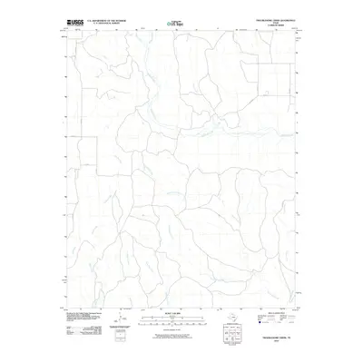
2010 Map of Troublesome Creek
USGS Topo · Published 2010About this map
Troublesome Creek and its many tributaries define the landscape of this portion of Donley County, carving a network of drainage across the Texas Panhandle. The area is characterized by an extensive system of intermittent waterways, including Whitefish Creek and McCormick Creek, which dictate the local topography. This 2010 survey shows how the rural grid is maintained by a series of numbered county roads like Co RD 20 and Co RD I, which navigate the rises and falls between creek beds. The drainage pattern, featuring smaller streams such as Three Tree Creek and Homes Creek, illustrates the complex natural irrigation of the high plains. This map is particularly useful for understanding the exact placement of local property access routes and the geographical relationship between named watercourses like Parks Creek and Camp Creek.
Find a feature on this map
19 named features on this map. Tap any name to fly to it.
Don’t see what you’re looking for? This feature index may not catch every label — zoom into the map to look around manually.
Map Details
Editions of this 2010 Troublesome Creek Map
This is the sole edition of this map. No revisions or reprints were ever made.
Other maps of this area

1954 · Amarillo
USGS Topo · 1:250,000

1954 · Plainview
USGS Topo · 1:250,000

1958 · Amarillo
USGS Topo · 1:250,000

1958 · Plainview
USGS Topo · 1:250,000

1959 · Lelia Lake Creek
USGS Topo · 1:24,000

1959 · Troublesome Creek
USGS Topo · 1:24,000

1959 · Spencer Lake
USGS Topo · 1:24,000

1959 · McKnight
USGS Topo · 1:24,000

1962 · Lelia Lake
USGS Topo · 1:24,000

1962 · Griffin Ranch
USGS Topo · 1:24,000