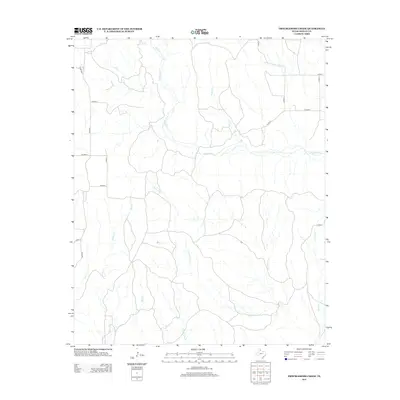
2012 Map of Troublesome Creek
USGS Topo · Published 2012About this map
Troublesome Cr and its numerous tributaries define the drainage patterns of this Donley County landscape, where the high plains break into a network of seasonal draws and stream beds. The terrain is characterized by the presence of Griffin Ranch and a sparse grid of rural roads, including Co Road F and Co Rd 21, that navigate the undulating geography. This area of Texas is shaped by the erosive action of waterways like Whitefish Cr, McCormick Cr, and Homes Cr, which create the distinct topographic relief visible throughout the quadrangle. The map documents the persistent ranching character of the region, where water sources like Three Tree Cr and Camp Cr remain central to the land's utility and the placement of local infrastructure.
Find a feature on this map
22 named features on this map. Tap any name to fly to it.
Don’t see what you’re looking for? This feature index may not catch every label — zoom into the map to look around manually.
Map Details
Editions of this 2012 Troublesome Creek Map
This is the sole edition of this map. No revisions or reprints were ever made.
Other maps of this area

1954 · Amarillo
USGS Topo · 1:250,000

1954 · Plainview
USGS Topo · 1:250,000

1958 · Amarillo
USGS Topo · 1:250,000

1958 · Plainview
USGS Topo · 1:250,000

1959 · Lelia Lake Creek
USGS Topo · 1:24,000

1959 · Troublesome Creek
USGS Topo · 1:24,000

1959 · Spencer Lake
USGS Topo · 1:24,000

1959 · McKnight
USGS Topo · 1:24,000

1962 · Lelia Lake
USGS Topo · 1:24,000

1962 · Griffin Ranch
USGS Topo · 1:24,000