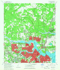
1964 Map of Trout River
USGS Topo · Published 1966About this map
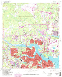
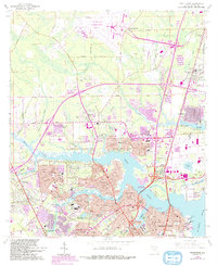
The Trout River and its labyrinth of tributaries, including Cedar Creek and the Ribault River, define the landscape north of Jacksonville in the mid-1960s. This period captures a significant era of suburban expansion and infrastructure development, evident in the dense residential plottings of Ribault Manor, Lake Forest, and Highlands. The transportation network is a central theme, featuring the intersection of Interstate 95 and Heckscher Drive, alongside the sprawling grounds of Imeson Airport, then the city’s primary municipal airfield.
Find a feature on this map
125 named features on this map. Tap any name to fly to it.
Don’t see what you’re looking for? This feature index may not catch every label — zoom into the map to look around manually.
Map Details
Editions of this 1964 Trout River Map
6 editions found
Other maps of this area

1917 · Cambon
USGS Topo · 1:62,500

1917 · Hilliard
USGS Topo · 1:62,500

1918 · St Marys
USGS Topo · 1:62,500

1918 · Cambon
USGS Topo · 1:62,500

1918 · Jacksonville
USGS Topo · 1:62,500

1919 · St Marys
USGS Topo · 1:62,500

1919 · Hilliard
USGS Topo · 1:62,500

1948 · Jacksonville
USGS Topo · 1:250,000

1948 · Eastport
USGS Topo · 1:24,000

1950 · Arlington
USGS Topo · 1:24,000
Featured Places
- Jacksonville, FL
- Lake Park Estates, Jacksonville
- Lake Forest Manor, Jacksonville
- Garden City, Jacksonville
- Oakhurst, Jacksonville