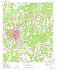
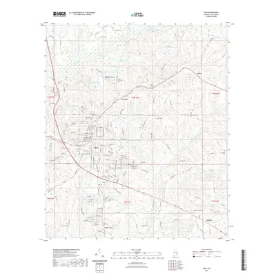
1981 Map of Troy
USGS Topo · Published 1982About this map
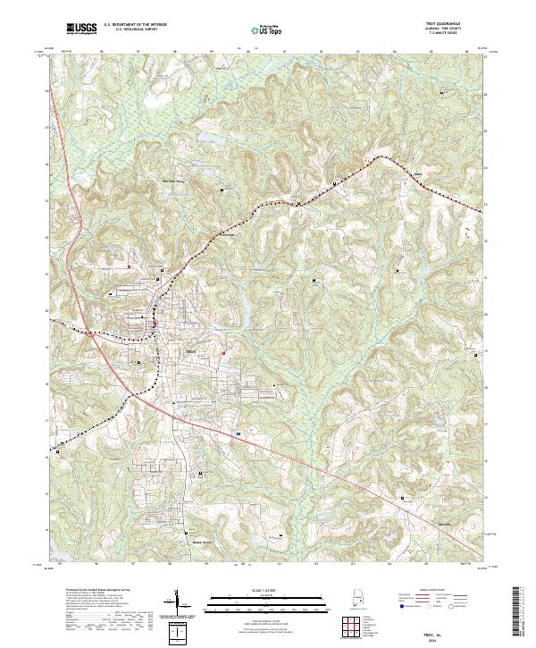
The Walter F George Reservoir, also known as Lake Eufaula, dominates the eastern border of this 1980s-era landscape, where the Chattahoochee River defines the boundary between Alabama and Georgia. This region is characterized by a dense network of watercourses including the Pea River, Choctawhatchee River, and Conecuh River, which carved the terrain long before the impoundment of the reservoir. The map documents a rural transition as small settlements like Brundidge, Clayton, and Louisville serve as local hubs connected by a complex web of state and federal highways, such as U S Hwy 231 and Ala Hwy 10.
Find a feature on this map
108 named features on this map. Tap any name to fly to it.
Don’t see what you’re looking for? This feature index may not catch every label — zoom into the map to look around manually.
Map Details
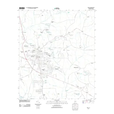
Editions of this 1981 Troy Map
This is the sole edition of this map. No revisions or reprints were ever made.
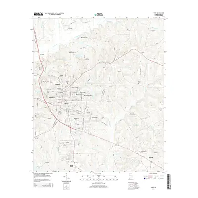
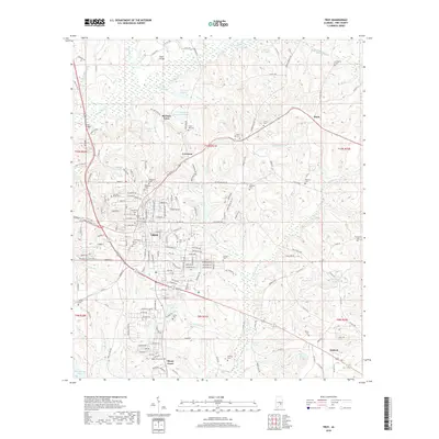
Historical Maps of Troy Through Time
7 maps found