
1964 Map of Troy Canyon
USGS Topo · Published 1966About this map
Railroad Valley dominates the western half of this mid-1960s survey, showing a landscape defined by water management and mineral exploration. The presence of numerous flowing wells, oil wells, and dry wells indicates the industrial interests of the era, while the Wildlife Management Area suggests a balance between development and conservation. To the east, the terrain rises sharply into the Grant Range, culminating at Troy Peak. Local history is anchored at the Bordoli Ranch and the small settlement of Crows Nest. Deep in the high-elevation canyons, traces of earlier prospectors remain at the Terrells Mine and Irwin Mine. The map also preserves the route of the Midland Trail, a vital piece of the region's transport network that skirts the edge of the mountains and the valley floor.
Find a feature on this map
46 named features on this map. Tap any name to fly to it.
Don’t see what you’re looking for? This feature index may not catch every label — zoom into the map to look around manually.
Map Details
Editions of this 1964 Troy Canyon Map
This is the sole edition of this map. No revisions or reprints were ever made.
Other maps of this area

1956 · Lund
USGS Topo · 1:250,000

1960 · Lund
USGS Topo · 1:250,000

1964 · Blue Eagle Springs
USGS Topo · 1:62,500

1964 · Currant
USGS Topo · 1:62,500

1964 · Forest Home
USGS Topo · 1:62,500

1968 · Portuguese Mtn
USGS Topo · 1:62,500

1968 · The Wall
USGS Topo · 1:62,500
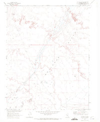
1968 · The Wall SE
USGS Topo · 1:24,000
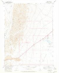
1968 · Lockes
USGS Topo · 1:24,000
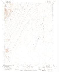
1968 · The Wall NE
USGS Topo · 1:24,000