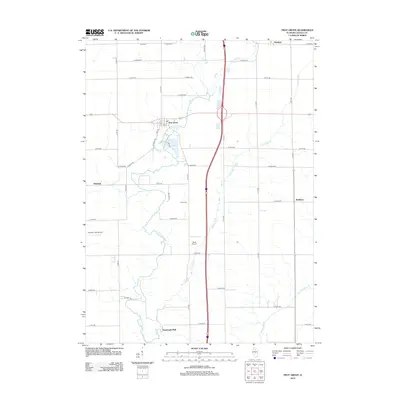
2012 Map of Troy Grove
USGS Topo · Published 2012About this map
Troy Grove and its surrounding agricultural landscape are defined by a grid of numbered rural roads and the winding paths of the Little Vermilion River and Tomahawk Creek. The settlement of Troy Grove sits at the junction of Main St and S St, while smaller communities like Triumph and Waltham dot the periphery. The terrain is largely flat tillable land, punctuated by the dramatic rise of Tomahawk Bluff and the wooded drainages of Pecumsaugan Cr. Local aviation is represented by Flaherty Field Airport and Davis Airport, reflecting a mid-continent landscape where private airstrips are as integral as the traditional Crane Cem. This map details the modern transition of the LaSalle County countryside, where high-speed interstate infrastructure now bisects historical township lines.
Find a feature on this map
47 named features on this map. Tap any name to fly to it.
Don’t see what you’re looking for? This feature index may not catch every label — zoom into the map to look around manually.
Map Details
Editions of this 2012 Troy Grove Map
This is the sole edition of this map. No revisions or reprints were ever made.
Other maps of this area

1892 · Ottawa
USGS Topo · 1:62,500

1893 · Lasalle
USGS Topo · 1:62,500

1911 · La Salle
USGS Topo · 1:62,500

1913 · La Salle
USGS Topo · 1:62,500

1915 · Ottawa
USGS Topo · 1:62,500

1946 · Ottawa
USGS Topo · 1:62,500

1947 · La Salle
USGS Topo · 1:62,500

1951 · Earlville
USGS Topo · 1:62,500

1952 · Mendota
USGS Topo · 1:62,500

1958 · Aurora
USGS Topo · 1:250,000