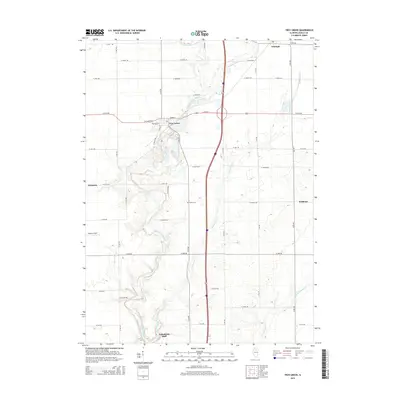
2015 Map of Troy Grove
USGS Topo · Published 2015About this map
Troy Grove sits at the heart of this LaSalle County landscape, where the Little Vermilion River carves a winding path through the prairie. The settlement pattern here reflects the grid-based agricultural heritage of North Central Illinois, defined by local thoroughfares such as N 37th Rd and E 5th Rd. Smaller hamlets like Triumph in the northeast and Waltham in the east provide commercial anchors for the surrounding farmsteads.
Find a feature on this map
45 named features on this map. Tap any name to fly to it.
Don’t see what you’re looking for? This feature index may not catch every label — zoom into the map to look around manually.
Map Details
Editions of this 2015 Troy Grove Map
This is the sole edition of this map. No revisions or reprints were ever made.
Other maps of this area
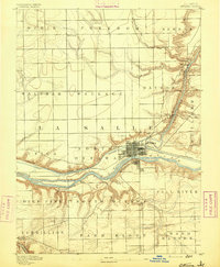
1892 · Ottawa
USGS Topo · 1:62,500
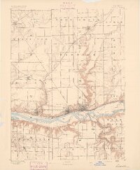
1893 · Lasalle
USGS Topo · 1:62,500
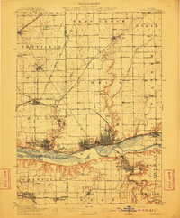
1911 · La Salle
USGS Topo · 1:62,500
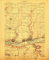
1913 · La Salle
USGS Topo · 1:62,500
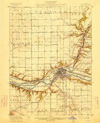
1915 · Ottawa
USGS Topo · 1:62,500
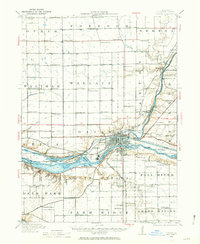
1946 · Ottawa
USGS Topo · 1:62,500
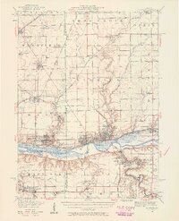
1947 · La Salle
USGS Topo · 1:62,500
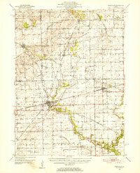
1951 · Earlville
USGS Topo · 1:62,500
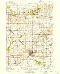
1952 · Mendota
USGS Topo · 1:62,500

1958 · Aurora
USGS Topo · 1:250,000