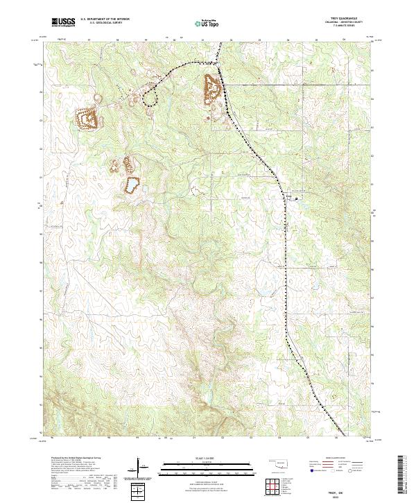
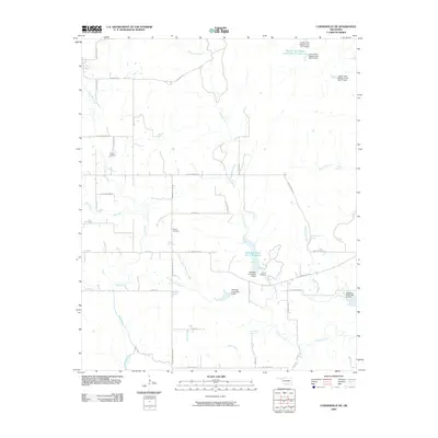
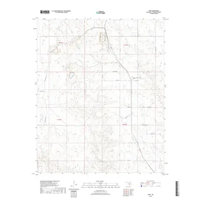
2022 Map of Troy
USGS Topo · Published 2022About this map
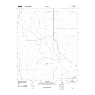
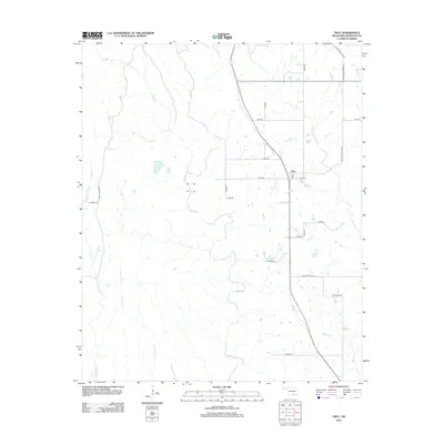
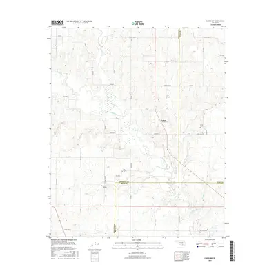
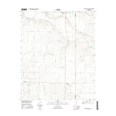
The unincorporated community of Troy centers this section of Johnston County, defined by its position along the rolling watershed of Mill Creek and Rock Cr. This rural landscape is heavily influenced by large-scale landholdings and ranching operations, visible through thoroughfares like Daube Ranch Rd and Pat Howell Rd that cross the western and central sections. The Troy Cem provides a primary point of interest for genealogists tracing families from this corner of Oklahoma. Small tributaries like Bee Br, Sand Cr, and Courtney Cr carve through the terrain, illustrating the drainage patterns that have historically shaped local settlement and property boundaries. Notable local routes such as Ten Acre Rock Rd and Slippery Falls Rd hint at the local landmarks and geological features that characterize the area's geography.
Find a feature on this map
27 named features on this map. Tap any name to fly to it.
Don’t see what you’re looking for? This feature index may not catch every label — zoom into the map to look around manually.
Map Details
Editions of this 2022 Troy Map
This is the sole edition of this map. No revisions or reprints were ever made.
Historical Maps of Troy Through Time
30 maps found
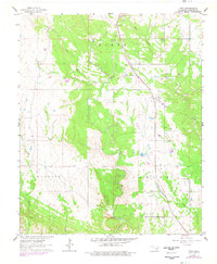
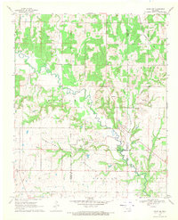
1963 Troy
Johnston County, OK
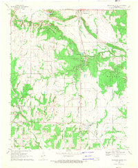
1967 Connerville NE
Johnston County, OK
1967 Connerville SE
Johnston County, OK
1968 Caddo NW
Johnston County, OK
1968 Wapanucka South
Johnston County, OK
2009 Connerville NE
Johnston County, OK
2009 Wapanucka South
Johnston County, OK
2010 Caddo NW
Johnston County, OK
2010 Connerville SE
Johnston County, OK
2010 Troy
Johnston County, OK
2012 Caddo NW
Johnston County, OK
2012 Connerville NE
Johnston County, OK
2012 Connerville SE
Johnston County, OK
2012 Wapanucka South
Johnston County, OK
2013 Troy
Johnston County, OK
2016 Caddo NW
Johnston County, OK
2016 Connerville NE
Johnston County, OK
2016 Connerville SE
Johnston County, OK
2016 Troy
Johnston County, OK
2016 Wapanucka South
Johnston County, OK
2018 Caddo NW
Johnston County, OK
2018 Connerville NE
Johnston County, OK
2018 Connerville SE
Johnston County, OK
2018 Troy
Johnston County, OK
2018 Wapanucka South
Johnston County, OK
2022 Caddo NW
Johnston County, OK
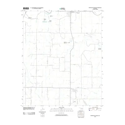
2022 Connerville NE
Johnston County, OK
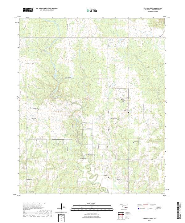
2022 Connerville SE
Johnston County, OK
2022 Troy
Johnston County, OK
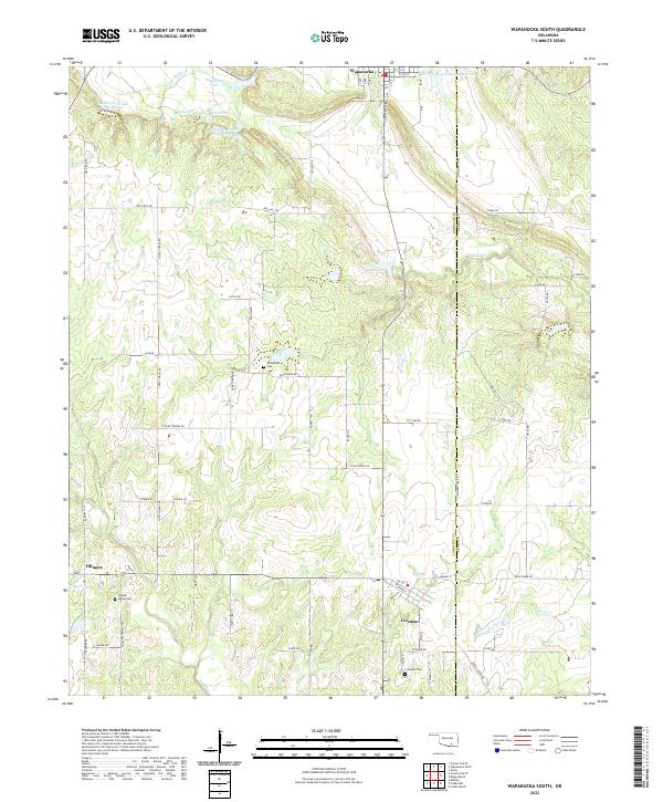
2022 Wapanucka South
Johnston County, OK