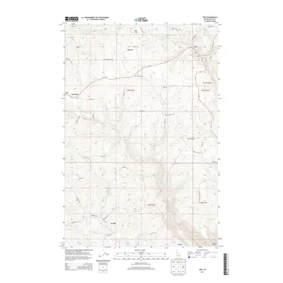
2013 Map of Troy
USGS Topo · Published 2013About this map
The town of Troy anchors this Latah County landscape, situated at the junction of Id-8 and Id-99. This 2013 survey illustrates the agricultural and topographical character of the Palouse region, where high ridges and plateaus are dissected by the drainage systems of Middle Potlatch Cr and Little Potlatch Cr. The map details numerous smaller settlements and geographic landmarks including Howell, Cornwall, and Joel, providing a clear view of the rural road network that connects these communities.
Find a feature on this map
48 named features on this map. Tap any name to fly to it.
Don’t see what you’re looking for? This feature index may not catch every label — zoom into the map to look around manually.
Map Details
Editions of this 2013 Troy Map
This is the sole edition of this map. No revisions or reprints were ever made.
Other maps of this area

1955 · Pullman
USGS Topo · 1:250,000

1958 · Pullman
USGS Topo · 1:250,000

1960 · Troy
USGS Topo · 1:24,000

1960 · Robinson Lake
USGS Topo · 1:24,000

1960 · Moscow Mtn
USGS Topo · 1:24,000

1960 · Moscow East
USGS Topo · 1:24,000

1960 · Potlatch
USGS Topo · 1:62,500

1961 · Deary
USGS Topo · 1:62,500

1961 · Kendrick
USGS Topo · 1:62,500

1961 · Moscow
USGS Topo · 1:62,500