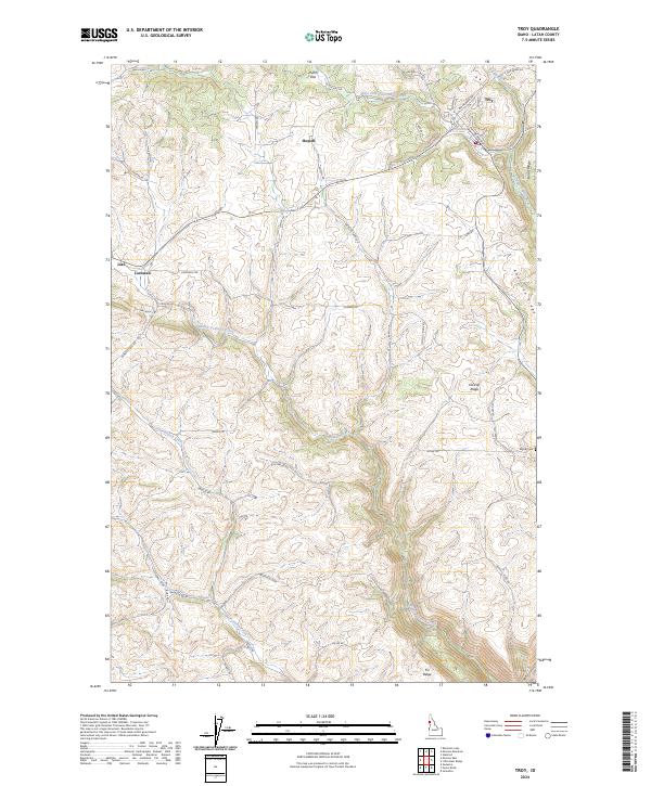
2024 Map of Troy
USGS Topo · Published 2024About this map
Troy anchors the northeastern corner of this Latah County landscape, where the headwaters of West Fork Little Bear Creek and Big Meadow Creek converge. The terrain is defined by a series of prominent finger ridges, including American Ridge, Driscoll Ridge, and Burnt Ridge, which separate the various drainage basins. The road network follows these natural contours, with routes like Driscoll Ridge Rd and Genesee-Troy Rd connecting the central uplands to the surrounding valleys.
Find a feature on this map
48 named features on this map. Tap any name to fly to it.
Don’t see what you’re looking for? This feature index may not catch every label — zoom into the map to look around manually.
Map Details
Editions of this 2024 Troy Map
This is the sole edition of this map. No revisions or reprints were ever made.
Other maps of this area

1955 · Pullman
USGS Topo · 1:250,000

1958 · Pullman
USGS Topo · 1:250,000

1960 · Troy
USGS Topo · 1:24,000

1960 · Robinson Lake
USGS Topo · 1:24,000

1960 · Moscow Mtn
USGS Topo · 1:24,000

1960 · Moscow East
USGS Topo · 1:24,000

1960 · Potlatch
USGS Topo · 1:62,500

1961 · Deary
USGS Topo · 1:62,500

1961 · Kendrick
USGS Topo · 1:62,500

1961 · Moscow
USGS Topo · 1:62,500