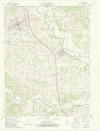
1972 Map of Troy
USGS Topo · Published 1982About this map
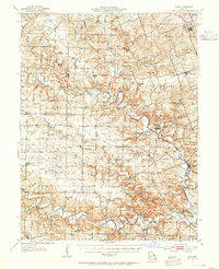
The Cuivre River winds through the heart of Lincoln County, defining the rural character of this region during the early 1970s. The city of Troy serves as the primary hub, showing significant infrastructure like Water Tanks and its position along the Burlington Northern line. Just to the south, Moscow Mills sits near the riverbanks, illustrating the historical relationship between these early Missouri settlements and their local waterways.
Find a feature on this map
27 named features on this map. Tap any name to fly to it.
Don’t see what you’re looking for? This feature index may not catch every label — zoom into the map to look around manually.
Map Details
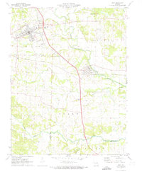
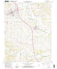
Editions of this 1972 Troy Map
3 editions found
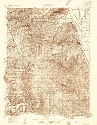
Other maps of this area

1890 · Louisiana
USGS Topo · 1:125,000

1890 · Hermann
USGS Topo · 1:125,000

1903 · O'Fallon
USGS Topo · 1:125,000
1934 · Elsberry
USGS Topo · 1:48,000
1937 · Silex
USGS Topo · 1:62,500
1939 · Silex
USGS Topo · 1:48,000

1941 · Troy
USGS Topo · 1:62,500
1942 · Elsberry
USGS Topo · 1:62,500

1943 · Warrenton
USGS Topo · 1:62,500

1945 · Troy
USGS Topo · 1:62,500