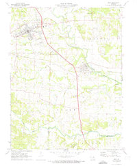
1972 Map of Troy
USGS Topo · Published 1973About this map
Troy and Moscow Mills anchor this 1970s landscape, reflecting a region defined by its waterway networks and transition from rail-dependent industry to a more modern infrastructure. The Cuivre River winds through the northern portion of the quadrangle, with Cuivre River State Park providing a significant protected area along its banks. An interesting historical layer is visible in the presence of an Old Railroad Grade running parallel to portions of the river and existing Burlington Northern lines, signaling the evolution of transport in Lincoln County.
Find a feature on this map
30 named features on this map. Tap any name to fly to it.
Don’t see what you’re looking for? This feature index may not catch every label — zoom into the map to look around manually.
Map Details
Editions of this 1972 Troy Map
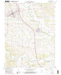
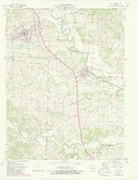
3 editions found
Other maps of this area

1890 · Louisiana
USGS Topo · 1:125,000

1890 · Hermann
USGS Topo · 1:125,000

1903 · O'Fallon
USGS Topo · 1:125,000

1934 · Elsberry
USGS Topo · 1:48,000

1937 · Silex
USGS Topo · 1:62,500

1939 · Silex
USGS Topo · 1:48,000

1941 · Troy
USGS Topo · 1:62,500

1942 · Elsberry
USGS Topo · 1:62,500

1943 · Warrenton
USGS Topo · 1:62,500

1945 · Troy
USGS Topo · 1:62,500