
1966 Map of Troy NW
USGS Topo · Published 1967About this map
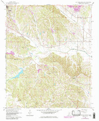
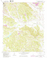
Pontotoc anchors the northwestern corner of this mid-1960s landscape, where the G M & O RR cuts through the edge of town near the Pontotoc Hospital. The topography is defined by a dense network of watercourses, including Chiwapa Creek, Donaldson Creek, and Tallabinnela Creek, which carve through the terrain to create a series of prominent ridges and valleys. This era shows a rural community structure centered on numerous country churches and family-named cemeteries, such as New Hope Ch and McCluskey Cem. The southern portion of the map is particularly rugged, marked by the Troy Lookout Tower and a landscape of timber and small farms. Smaller settlements like Woodland and Zion appear as crossroads communities, while several small reservoirs and a Sewage Disposal facility reflect the infrastructure of the period.
Find a feature on this map
43 named features on this map. Tap any name to fly to it.
Don’t see what you’re looking for? This feature index may not catch every label — zoom into the map to look around manually.
Map Details
Editions of this 1966 Troy NW Map
3 editions found
Other maps of this area

1949 · New Albany
USGS Topo · 1:62,500

1951 · New Albany
USGS Topo · 1:62,500

1955 · Sherman
USGS Topo · 1:62,500

1956 · Tupelo
USGS Topo · 1:250,000

1958 · Tupelo
USGS Topo · 1:250,000

1966 · Troy SE
USGS Topo · 1:24,000

1966 · Bissell
USGS Topo · 1:24,000

1966 · Troy
USGS Topo · 1:24,000

1972 · Houlka
USGS Topo · 1:24,000
1972 · Southwest Pontotoc
USGS Topo · 1:24,000