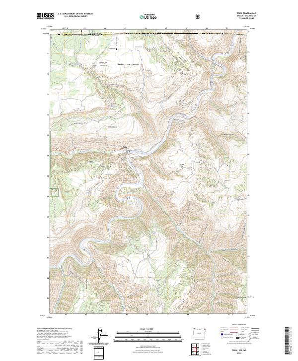
2023 Map of Troy
USGS Topo · Published 2023About this map
Troy sits at the confluence where the Wenaha River joins the Grande Ronde Wild and Scenic River, a deep canyon landscape where the border between Oregon and Washington crosses high plateaus. This 2023 survey illustrates a region defined by dramatic vertical relief, from the low-lying Lightle Flat to the towering heights of Eden Ridge and Powwatka Ridge. The settlement pattern follows the high benches above the river breaks, most notably at Bartlett and Grouse Flat, where the local history is anchored by the Bartlett Cem and markers of early rural life like Grouse Flat School Rd. The map details a complex network of canyons including taxsáwkt Canyon, Whitmore Canyon, and Shuman Canyon, which carve through the volcanic geology of the Columbia Plateau. This modern record serves as an essential tool for understanding the contemporary state of these protected river corridors and the enduring mountain communities of the Wallowa country.
Find a feature on this map
56 named features on this map. Tap any name to fly to it.
Don’t see what you’re looking for? This feature index may not catch every label — zoom into the map to look around manually.
Map Details
Editions of this 2023 Troy Map
This is the sole edition of this map. No revisions or reprints were ever made.
Other maps of this area

1937 · Pomeroy
USGS Topo · 1:96,000

1942 · Pomeroy
USGS Topo · 1:125,000

1943 · Saddle Butte
USGS Topo · 1:62,500

1946 · Saddle Butte
USGS Topo · 1:62,500

1955 · Pullman
USGS Topo · 1:250,000

1955 · Grangeville
USGS Topo · 1:250,000

1958 · Pullman
USGS Topo · 1:250,000

1959 · Grangeville
USGS Topo · 1:250,000

1967 · Wood Butte
USGS Topo · 1:24,000

1967 · Troy
USGS Topo · 1:24,000