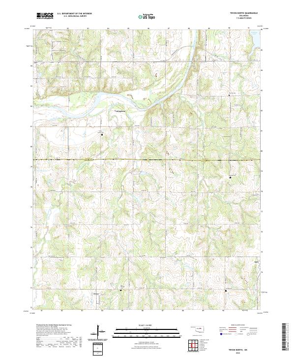
2022 Map of Tryon North
USGS Topo · Published 2022About this map
The Cimarron River winds through the northern portion of this landscape, its path defined by the prominent Cimarron Bluff and the confluence of several tributaries including Dugout Cr and Headquarters Cr. This area on the Payne and Lincoln County border is characterized by small rural settlements like Tryon, Agra, and Cottingham, connected by a grid of section-line roads such as N3410 Rd and E0750 Rd.
Find a feature on this map
64 named features on this map. Tap any name to fly to it.
Don’t see what you’re looking for? This feature index may not catch every label — zoom into the map to look around manually.
Map Details
Editions of this 2022 Tryon North Map
This is the sole edition of this map. No revisions or reprints were ever made.
Other maps of this area

1893 · Stillwater
USGS Topo · 1:62,500

1908 · Agra
USGS Topo · 1:62,500

1909 · Perkins
USGS Topo · 1:62,500

1929 · Ripley
USGS Topo · 1:62,500

1932 · Ripley
USGS Topo · 1:62,500

1954 · Oklahoma City
USGS Topo · 1:250,000

1955 · Enid
USGS Topo · 1:250,000

1957 · Oklahoma City
USGS Topo · 1:250,000

1958 · Enid
USGS Topo · 1:250,000

1963 · Oklahoma City
USGS Topo · 1:250,000