
1954 Map of Tsala Apopka NE
USGS Topo · Published 1955About this map
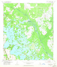
Tsala Apopka Lake dominates this mid-century Florida landscape, revealing a complex network of islands and marshlands including Gilchrist Island and Briggs Island. The town of Hernando serves as the primary settlement on the southwestern edge of the quadrangle, where the Atlantic Coast Line and Seaboard Air Line railroads intersect. This transportation corridor was historically significant for the local extractive industry, evidenced by the presence of several Mines nearby.
Find a feature on this map
22 named features on this map. Tap any name to fly to it.
Don’t see what you’re looking for? This feature index may not catch every label — zoom into the map to look around manually.
Map Details
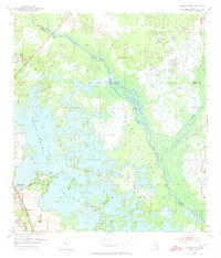
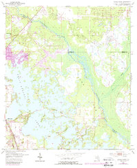
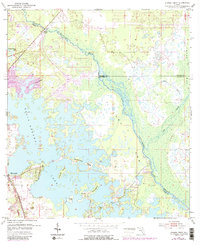
Editions of this 1954 Tsala Apopka NE Map
5 editions found
Other maps of this area

1892 · Dunnellon
USGS Topo · 1:62,500

1893 · Panasoffkee
USGS Topo · 1:62,500

1894 · Dunnellon
USGS Topo · 1:62,500

1895 · Tsala Apopka
USGS Topo · 1:62,500

1895 · Panasoffkee
USGS Topo · 1:62,500

1895 · Ocala
USGS Topo · 1:62,500

1954 · Lecanto
USGS Topo · 1:24,000

1954 · Holder
USGS Topo · 1:24,000

1954 · Dunnellon
USGS Topo · 1:24,000

1954 · Inverness
USGS Topo · 1:24,000