
1961 Map of TTT Ranch
USGS Topo · Published 1964About this map
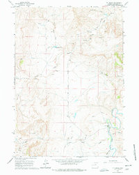
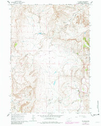
The TTT Ranch occupies a central position in this corner of Johnson County, situated where the South Fork Powder River joins the main course of the Powder River. Surveyed in the late 1950s and field-checked in 1961, the landscape reflects a ranching economy supported by complex water management, including the Tisdale Ditch and numerous reservoirs like King Res. The presence of scattered Claypits and a Drill Hole suggests early industrial interest in the area's mineral resources, while the network of unpaved routes such as Bear Lone Road and Arminto Road 10 Mi. provided essential connectivity for remote holdings.
Find a feature on this map
25 named features on this map. Tap any name to fly to it.
Don’t see what you’re looking for? This feature index may not catch every label — zoom into the map to look around manually.
Map Details
Editions of this 1961 TTT Ranch Map
3 editions found
Other maps of this area

1955 · Arminto
USGS Topo · 1:250,000

1958 · Arminto
USGS Topo · 1:250,000

1961 · Barnum
USGS Topo · 1:62,500

1961 · Kaycee NE
USGS Topo · 1:24,000

1961 · Wall Creek
USGS Topo · 1:24,000

1961 · Kaycee
USGS Topo · 1:24,000

1962 · Arminto
USGS Topo · 1:250,000

1968 · Willow Creek School
USGS Topo · 1:24,000

1968 · Salt Canyon
USGS Topo · 1:24,000
1968 · Broken Horn Creek
USGS Topo · 1:24,000