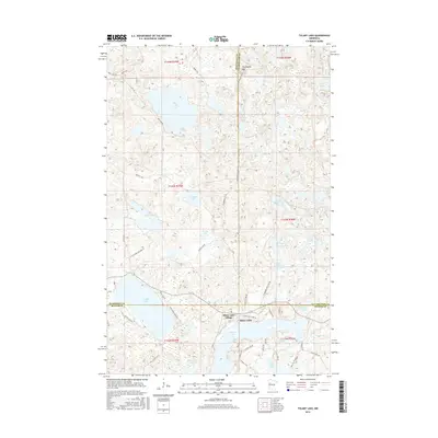
2016 Map of Tulaby Lake
USGS Topo · Published 2016About this map
Elbow Lake Village serves as the primary settlement in this lake-heavy corner of northwestern Minnesota, where the borders of Mahnomen, Clearwater, and Becker counties converge. The landscape is defined by a dense concentration of glacial basins, including the large expanses of Tulaby Lake and Elbow Lake, which are interconnected by smaller water bodies like Little Elbow Lake and Sawmill Lake. To the north, Strawberry Mtn rises above the timbered lake country, providing a topographic anchor near the Mahnomen and Clearwater county line.
Find a feature on this map
58 named features on this map. Tap any name to fly to it.
Don’t see what you’re looking for? This feature index may not catch every label — zoom into the map to look around manually.
Map Details
Editions of this 2016 Tulaby Lake Map
This is the sole edition of this map. No revisions or reprints were ever made.
Other maps of this area

1954 · Bemidji
USGS Topo · 1:250,000

1957 · Bemidji
USGS Topo · 1:250,000

1958 · Bemidji
USGS Topo · 1:250,000
1969 · North Twin Lake
USGS Topo · 1:24,000
1969 · Many Point Lake
USGS Topo · 1:24,000
1969 · Roy Lake
USGS Topo · 1:24,000
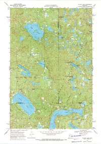
1969 · Tulaby Lake
USGS Topo · 1:24,000
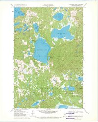
1969 · Strawberry Lake
USGS Topo · 1:24,000
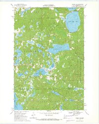
1969 · Snider Lake
USGS Topo · 1:24,000
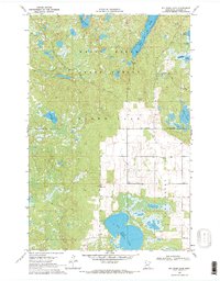
1969 · Big Rush Lake
USGS Topo · 1:24,000