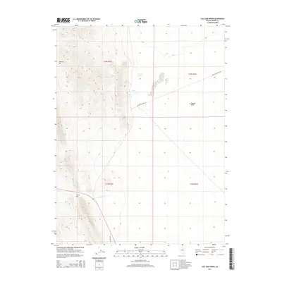
2014 Map of Tule Dam Spring
USGS Topo · Published 2014About this map
Diamond Valley and its high-desert water sources define this region of Eureka County. The landscape is marked by the transition between mountainous terrain and the broad valley floor, where crucial water points like Tule Dam Spring and Sulphur Spring appear as vital landmarks in an arid environment. Transportation through the area is dictated by the natural topography, with Mulligan Gap and Tyrone Gap providing essential passage through the ridges. To the south, Garden Pass Cr flows toward the lowlands near the junction of Sulfur Thompson Rd and Whistler Rd. These roads and natural passes illustrate the historical movement patterns of early ranchers and travelers navigating the Great Basin, where access to springs like these was a matter of survival.
Find a feature on this map
12 named features on this map. Tap any name to fly to it.
Don’t see what you’re looking for? This feature index may not catch every label — zoom into the map to look around manually.
Map Details
Editions of this 2014 Tule Dam Spring Map
This is the sole edition of this map. No revisions or reprints were ever made.
Other maps of this area

1926 · Roberts Mountains
USGS Topo · 1:250,000

1929 · Roberts Mountains
USGS Topo · 1:250,000

1949 · Garden Valley
USGS Topo · 1:62,500

1951 · Garden Valley
USGS Topo · 1:62,500

1953 · Eureka
USGS Topo · 1:62,500

1955 · Millett
USGS Topo · 1:250,000

1956 · Whistler Mtn
USGS Topo · 1:62,500

1956 · Ely
USGS Topo · 1:250,000

1957 · Diamond Springs
USGS Topo · 1:62,500

1959 · Ely
USGS Topo · 1:250,000