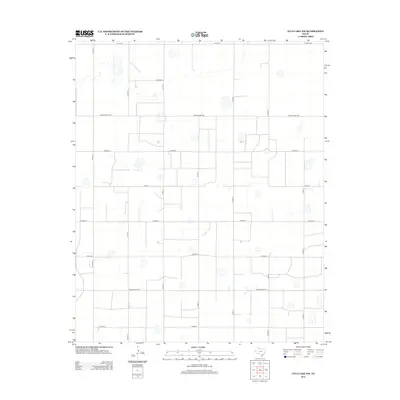
2012 Map of Tule Lake NW
USGS Topo · Published 2012About this map
The High Plains of Randall County appear as a grid of agriculture and ranching in this 2012 survey. The landscape is defined by a strictly orthogonal road network, where major east-west arteries like Ranch Road 1881 and Ranch Road 146 provide the primary connectivity across the panhandle terrain. Scattered across this geometric pattern are numerous small, ephemeral lake beds or depressions, characteristic of the region's playa lake system, which break the regularity of the section lines.
Find a feature on this map
16 named features on this map. Tap any name to fly to it.
Don’t see what you’re looking for? This feature index may not catch every label — zoom into the map to look around manually.
Map Details
Editions of this 2012 Tule Lake NW Map
This is the sole edition of this map. No revisions or reprints were ever made.
Other maps of this area

1954 · Plainview
USGS Topo · 1:250,000

1958 · Plainview
USGS Topo · 1:250,000

1960 · Canyon
USGS Topo · 1:62,500

1960 · Wayside
USGS Topo · 1:62,500

1965 · Tulia
USGS Topo · 1:24,000

1965 · Happy
USGS Topo · 1:24,000

1968 · Tule Lake
USGS Topo · 1:24,000

1969 · Love
USGS Topo · 1:24,000

1969 · Jackson Hill
USGS Topo · 1:24,000

1969 · Tule Lake NW
USGS Topo · 1:24,000