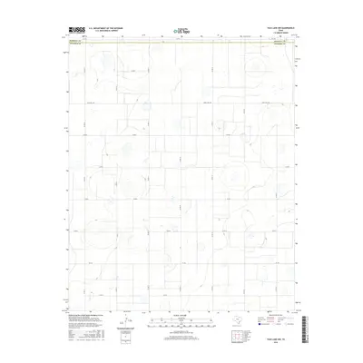
2016 Map of Tule Lake NW
USGS Topo · Published 2016About this map
Randall Co and Swisher Co meet along a rectilinear boundary in this high plains landscape of the Texas Panhandle. The terrain is defined by numerous shallow depressions and playas, many containing intermittent water sources that have historically shaped the agricultural use of the region. The grid of rural transportation is established by a systematic network of county roads, including Co Rd 15, Co Rd 17, and Co Rd 19, which provide access to the vast agricultural sections between the larger arteries of Fm 1075 in the north and Fm 146 in the south. This 2016 survey illustrates the persistent ranching and farming infrastructure of the area, centered around Ranch Rd 1881, where the land's natural contours and drainage patterns continue to dictate the placement of roads and farmsteads.
Find a feature on this map
17 named features on this map. Tap any name to fly to it.
Don’t see what you’re looking for? This feature index may not catch every label — zoom into the map to look around manually.
Map Details
Editions of this 2016 Tule Lake NW Map
This is the sole edition of this map. No revisions or reprints were ever made.
Other maps of this area

1954 · Plainview
USGS Topo · 1:250,000

1958 · Plainview
USGS Topo · 1:250,000

1960 · Canyon
USGS Topo · 1:62,500

1960 · Wayside
USGS Topo · 1:62,500

1965 · Tulia
USGS Topo · 1:24,000

1965 · Happy
USGS Topo · 1:24,000

1968 · Tule Lake
USGS Topo · 1:24,000

1969 · Love
USGS Topo · 1:24,000

1969 · Jackson Hill
USGS Topo · 1:24,000

1969 · Tule Lake NW
USGS Topo · 1:24,000