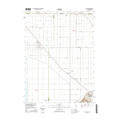
2015 Map of Tulelake
USGS Topo · Published 2015About this map
Tulelake and the reclaimed agricultural lands of the Klamath Basin define this borderland landscape between California and Oregon. The map reveals a strictly gridded system of irrigation and access, dominated by names like State Line Rd and Main St, which service the productive fields surrounding the remnant waters of Tule Lake. This area is characterized by small rural settlements such as Tuber, Dalton, and Stronghold that align with the regional transportation corridors and historical land divisions.
Find a feature on this map
61 named features on this map. Tap any name to fly to it.
Don’t see what you’re looking for? This feature index may not catch every label — zoom into the map to look around manually.
Map Details
Editions of this 2015 Tulelake Map
This is the sole edition of this map. No revisions or reprints were ever made.
Other maps of this area

1886 · Modoc Lava Bed
USGS Topo · 1:250,000

1889 · Klamath
USGS Topo · 1:250,000

1892 · Modoc Lava-Bed
USGS Topo · 1:250,000

1894 · Klamath
USGS Topo · 1:250,000

1950 · Mt. Dome
USGS Topo · 1:62,500

1951 · Tulelake
USGS Topo · 1:62,500

1954 · Alturas
USGS Topo · 1:250,000

1955 · Klamath Falls
USGS Topo · 1:250,000

1957 · Merrill
USGS Topo · 1:62,500

1957 · Malin
USGS Topo · 1:62,500