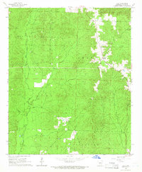
1965 Map of Tulip
USGS Topo · Published 1966About this map
Tulip serves as the primary focal point of this mid-1960s Dallas County landscape, situated near a ridge between significant water systems. The terrain is defined by the drainage basins of West Fork Tulip Creek and East Fork Tulip Creek, which converge to the south, while Moro Creek marks the eastern boundary. The map illustrates a rural environment where land use is divided into township-sized districts including Willow, Smith, Nix, and Princeton.
Find a feature on this map
12 named features on this map. Tap any name to fly to it.
Don’t see what you’re looking for? This feature index may not catch every label — zoom into the map to look around manually.
Map Details
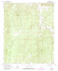
Editions of this 1965 Tulip Map
2 editions found
Other maps of this area

1903 · Camden
USGS Topo · 1:125,000

1953 · El Dorado
USGS Topo · 1:250,000

1955 · Little Rock
USGS Topo · 1:250,000

1956 · Little Rock
USGS Topo · 1:250,000

1957 · El Dorado
USGS Topo · 1:250,000

1958 · El Dorado
USGS Topo · 1:250,000

1960 · El Dorado
USGS Topo · 1:250,000

1960 · Little Rock
USGS Topo · 1:250,000

1964 · Little Rock
USGS Topo · 1:250,000

1965 · Round Hill
USGS Topo · 1:24,000